| Study Dates | October 16, 2023 - November 26, 2023 |
|---|---|
| Season of Study | Austral spring |
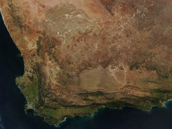
| Region | South Africa’s Greater Cape Floristic Region (GCFR) |
| Spatial Bounds | N: 30°S S: 40°S W: 15°E E: 30°E |
| Focus Areas | Carbon Cycle and Ecosystems |
| Geophysical Concepts | Biodiversity Ecosystems/Biogeochemical Interactions |
| Scientific Topics | Biodiversity Biodiversity Distribution Biodiversity Abundance Biodiversity Change Ecosystem Structure Ecosystem Composition Global Change Feedbacks Ecosystem Functions Ecological Change Drivers |


BioSCape
The Biodiversity Survey of the Cape (BioSCape) project is an international collaboration between South Africa and the United States to study biodiversity in South Africa's Greater Cape Floristic Region (GCFR). The GCFR, which is listed among the World's 200 Significant Ecoregions, was selected because it hosts two exceptional hotspots of both terrestrial and aquatic biodiversity.
BioSCape is an integrated field and airborne campaign that aimed to understand the structure, function, and composition of the region's ecosystems, and to learn about how and why they are changing in time and space. The campaign collected UV/visible to short wavelength infrared (UVSWIR) and thermal imaging spectroscopy as well as laser altimetry light detection and ranging (lidar) data over terrestrial and aquatic targets.
This airborne dataset is unique in its size and scope and unprecedented in its instrument combination and level of detail. These airborne data are accompanied by a range of biodiversity-related field observations.
| Platform | Instrument(s) |
|---|---|
| Gulfstream III | Portable Remote Imaging Spectrometer (PRISM) Airborne Visible InfraRed Imaging Spectrometer - Next Generation (AVIRIS-NG) |
| Gulfstream V | Land, Vegetation, and Ice Sensor (LVIS) Hyperspectral Thermal Emission Spectrometer (HyTES) |
The following resources provide additional information about the BioScape campaign.
