| Study Dates | Sept. 17, 2020 - December 31, 2024 |
|---|---|
| Season of Study | Boreal fall, boreal spring, boreal winter |
| Region | Southern California, Nevada, Pacific Ocean |
| Spatial Bounds | N: 43°N S: 30°N W: 130°W E: 112°W |
| Focus Areas | Carbon Cycle and Ecosystems |
| Geophysical Concepts | Land Characteristics |
| Scientific Topics | Land Cover Land Cover Changes Land Use Vegetation Land Surface Temperature Radiance Emissivity Visible Imagery Thermal Infrared Imagery Shortwave Infrared Imagery Ecosystem Land Characteristics |


WDTS
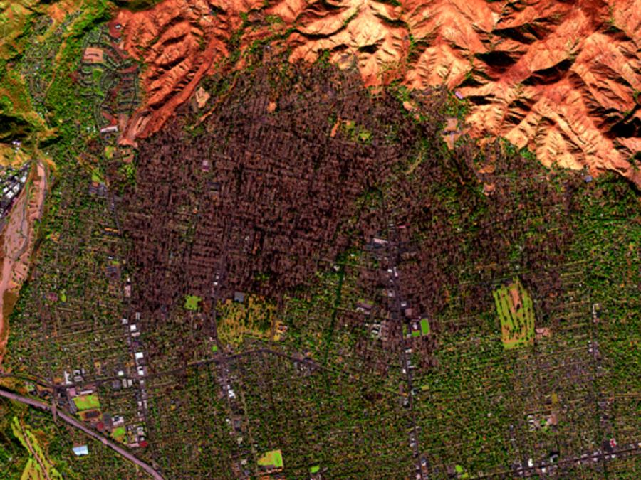
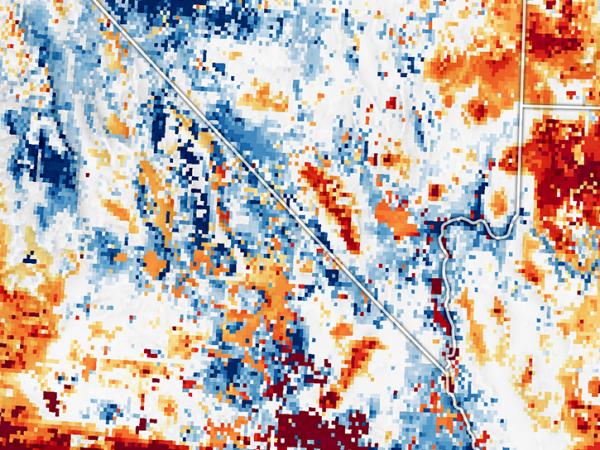
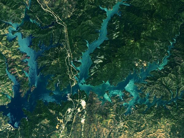
The Western Diversity Time Series (WDTS) field investigation was focused on observing California's ecosystems and providing critical information on natural disasters such as volcanoes, wildfires, and drought through multispectral imagery.
WDTS collected seasonal visible to shortwave infrared (VSWIR) and thermal infrared (TIR) airborne imagery using instruments including the Airborne Visible/Infrared Imaging Spectrometer (AVIRIS-C), MODIS/ASTER Airborne Simulator (MASTER), Hyperspectral Thermal Emission Spectrometer (HyTES), and Pushbroom Imager for Cloud and Aerosol Research and Development (PICARD) on a NASA ER-2 high-altitude platform.
WDTS aims to provide a benchmark on the state of ecosystems against which future changes can be assessed. WDTS started in 2020 and is a continuation of the HyspIRI Airborne campaign which took place from 2013-2018.
Principal Investigator
| Platform | Instrument(s) |
|---|---|
| ER-2 | Pushbroom Imager for Cloud and Aerosol Research and Development (PICARD) Airborne Visible/Infrared Imaging Spectrometer - Classic (AVIRIS-C) Hyperspectral Thermal Emission Spectrometer (HyTES) MODIS/ASTER Airborne Simulator (MASTER) HySpex Airborne Multiangle SpectroPolarimetric Imager (AirMSPI) |