
| Study Dates | 2017 to 2026 |
|---|---|
| Season of Study | Year-round |
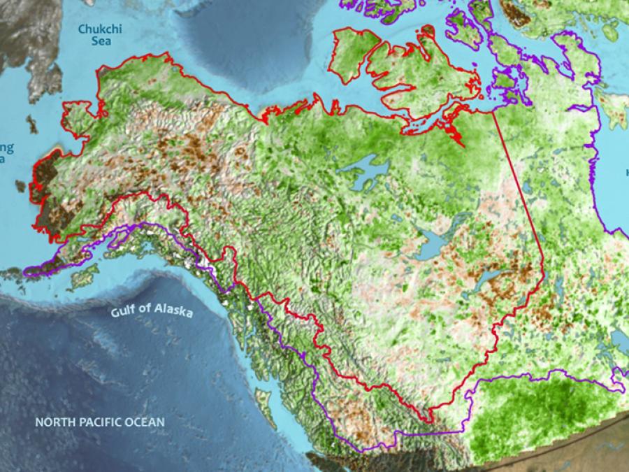
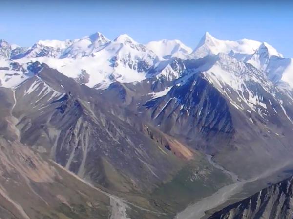
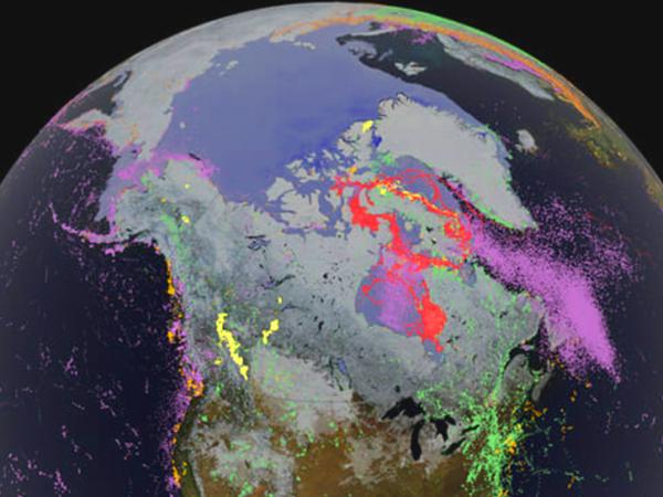
| Region | Alaska, Northwestern Canada, Circumpolar |
| Focus Areas | Carbon cycle and ecosystems Climate variability and change |
| Scientific Topics | Atmospheric chemistry Atmospheric temperature Atmospheric water vapor Atmospheric winds Cryospheric indicators Ecological dynamics Ecosystems Frozen ground Geomorphic landforms/processes Infrared wavelengths Land use/land cover Natural hazards Precipitation Snow/ice Soils Surface radiative properties Surface water Terrestrial hydrosphere indicators Topography Vegetation Visible wavelengths |
We are in the process of migrating all NASA Earth science data sites into Earthdata from now until end of 2026. Not all NASA Earth science data and resources will appear here until then. Thank you for your patience as we make this transition.
Read about the Web Unification Project