We are in the process of migrating all NASA Earth science data sites into Earthdata from now until end of 2026. Not all NASA Earth science data and resources will appear here until then. Thank you for your patience as we make this transition.
Read about the Web Unification Project
EOS Land Val
Earth Observing System Land Validation
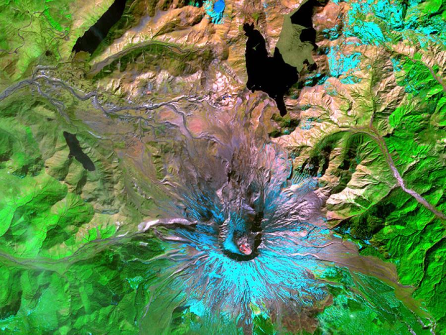
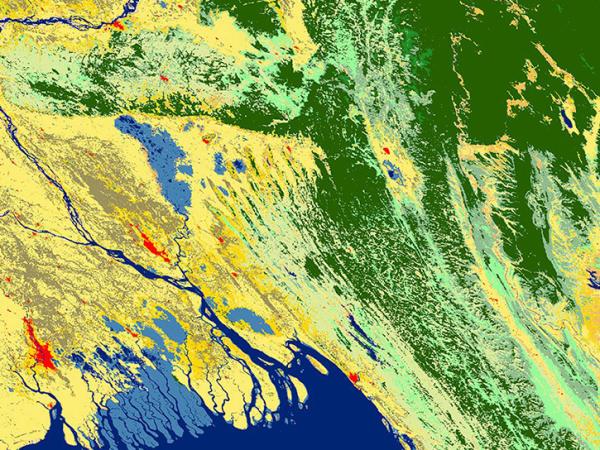
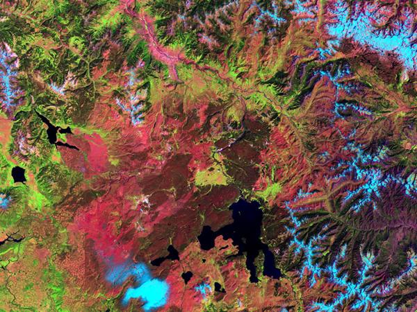
The objective of the EOS Land Validation (Land Val) project is to support the validation of Earth Observing System (EOS) Land Products, especially those derived from Moderate Resolution Imaging Spectroradiometer (MODIS), Advanced Spaceborne Thermal Emission and Reflection Radiometer (ASTER), Multi-Angle Imaging SpectroRadiometer (MISR), and Landsat 7. The data include in-situ and aircraft measurements for validating satellite products.
Data Centers
ORNL DAAC