| Study Dates | September 18, 2012 - September 29, 2015 |
| Season of Study | Year round |
| Region | North America |
| Spatial Bounds | N: 54.5°N S: 9°N W: 123.5°W E: 68°W |
| Focus Areas | Carbon Cycle and Ecosystems Earth Surface and Interior |
| Geophysical Concepts | Biodiversity Ecosystems/Biogeochemical Interactions Carbon Storage and Processes Land Characteristics Soil Properties Terrestrial Hydrology |
| Scientific Topics | Ecosystems Carbon Cycle Carbon Carbon Dioxide Soil Moisture Root Zone Soil Moisture Soil Chemistry Land Surface |


AirMOSS
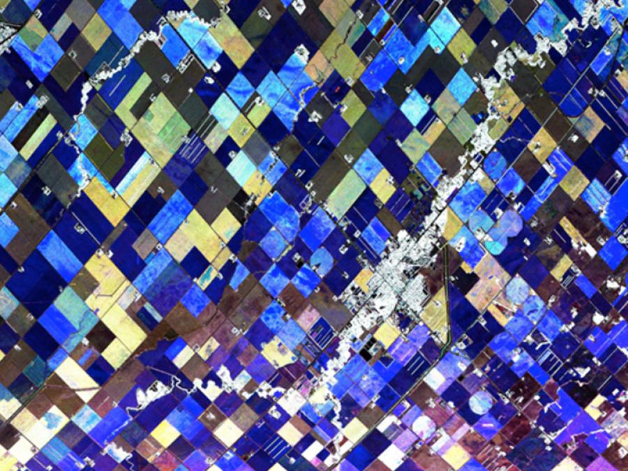
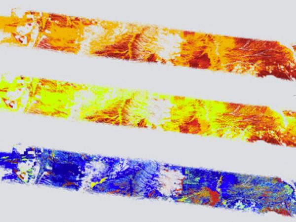
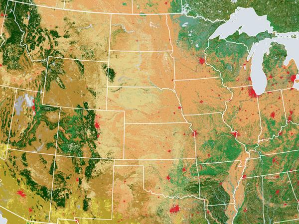
The Airborne Microwave Observatory of Subcanopy and Subsurface (AirMOSS) investigation provided high-resolution observations of root-zone soil moisture over nine major North American biomes. The campaign goals were to quantify the impact of variations in soil moisture on the estimation of regional carbon fluxes and to extrapolate the reduced-uncertainty estimates of regional carbon fluxes to the continental scale of North America.
The AirMOSS campaign used an airborne ultra-high frequency synthetic aperture radar flown on a Gulfstream-III aircraft to derive estimates of soil moisture down to approximately 1.2 meters. Extensive ground, tower, and aircraft in-situ measurements were collected to validate root-zone soil measurements and carbon flux model estimates.
Principal Investigator
Partners
Data Centers
Funding Programs
| Platform | Instrument(s) |
|---|---|
| Gulfstream III | AirMOSS P-band Radar |
| Permanent Land Site | Rain Gauge FLUXNET Soil Moisture Probe Infrared Thermometer (IRT) |
| Beechcraft Model 76 Duchess | Best Air Turbulence Probe (BAT Probe) Picarro Gas Analyzer |
The following resources provide additional information about the AirMOSS campaign.
