| Study Dates | Dec. 5, 2018 - present |
|---|---|
| Season of Study | Year round |
| Region | Worldwide |
| Focus Areas | Atmospheric and Water Cycling Processes Biodiversity Habitat |


GEDI
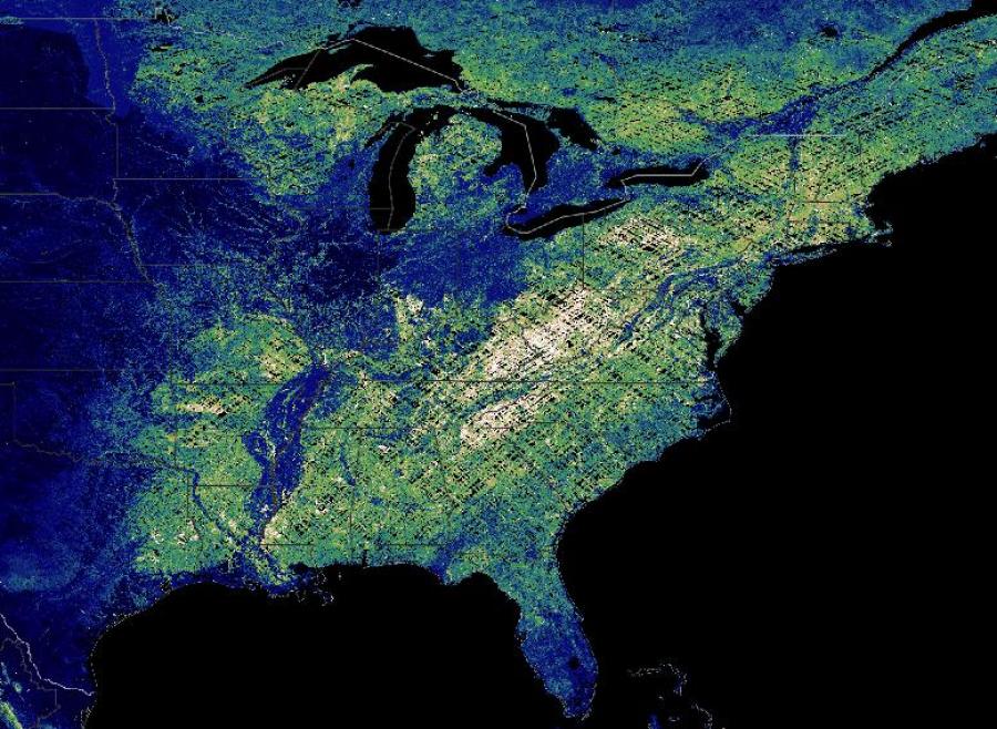
The Global Ecosystem Dynamics Investigation (GEDI) aims to characterize the effects of changing climate and land use on Earth. Specifically, GEDI helps researchers study ecosystem structure and dynamics to enable radically improved quantification and understanding of Earth's carbon cycle and variability of life.
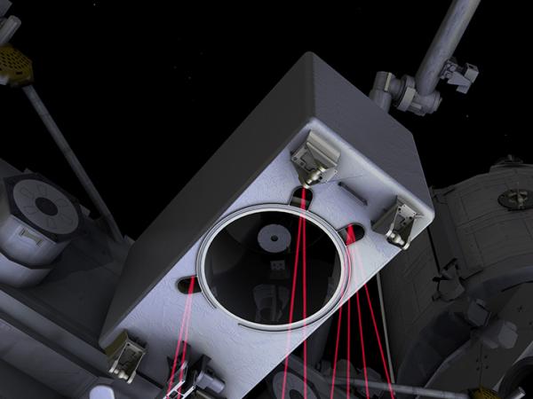
From its vantage point on the International Space Station (ISS), GEDI uses lidar to provide the first global, high-resolution observations of forest vertical structure. GEDI addresses three core science questions: What is the aboveground carbon balance of the land surface? What role will the land surface play in mitigating atmospheric carbon dioxide in the coming decades? How does ecosystem structure affect habitat quality and variability of life?
Principal Investigator
Partners
Data Centers
Funding Programs
Specifications
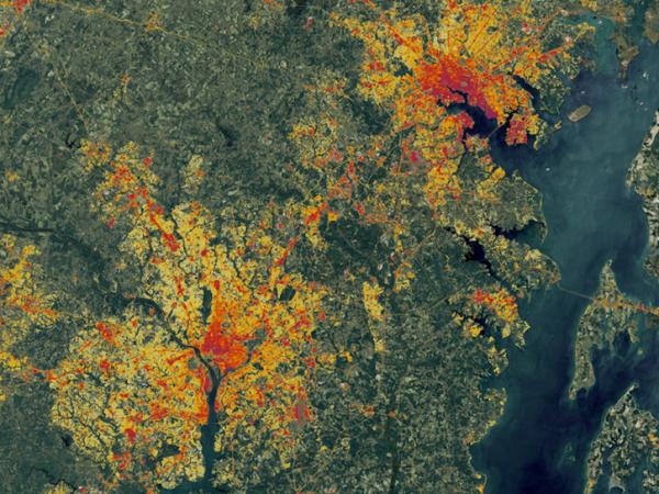
Lower-level science data products (L1B, L2A, and L2B) are available from the Land Processes Distributed Active Archive Center (LP DAAC), and the higher-level products (L3, L4A, and L4B) are available from the Oak Ridge National Laboratory DAAC (ORNL DAAC). L3 provides gridded canopy and land surface metrics. L4A and L4B provide aboveground biomass density at footprint and grid levels.
