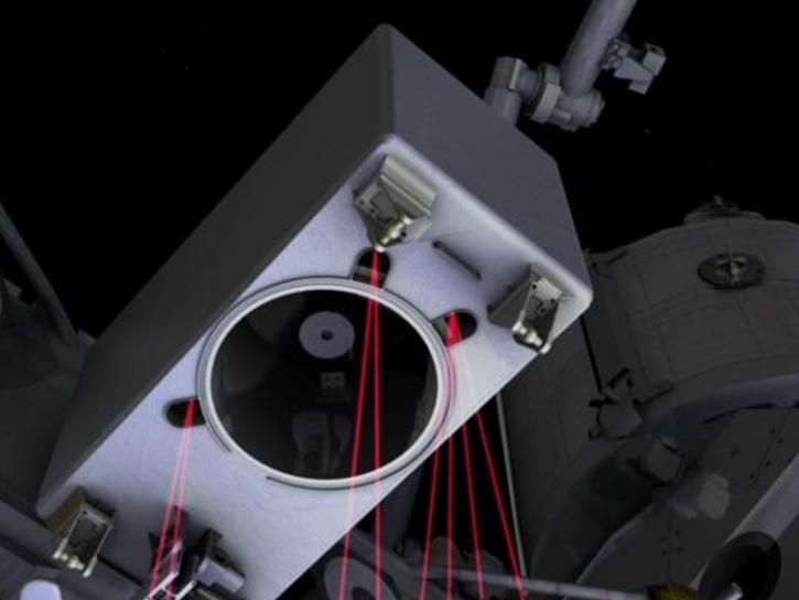
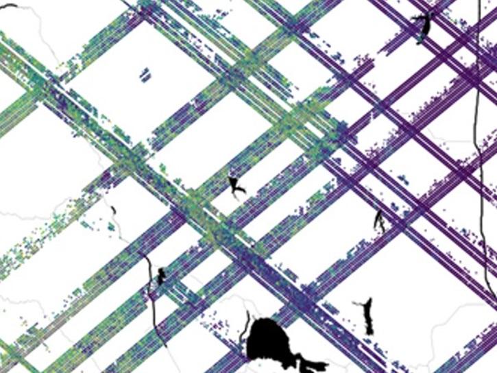
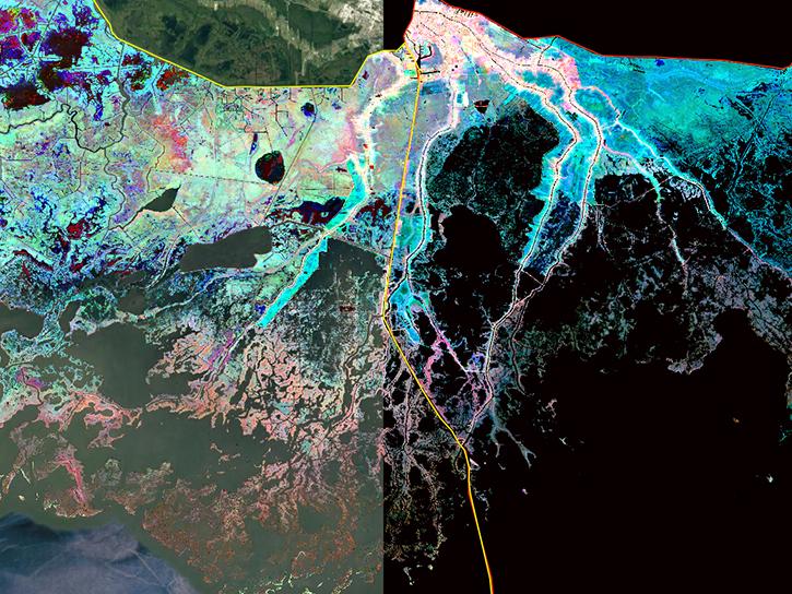
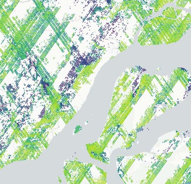
This NASA ARSET training program teaches participants to process data from the Global Ecosystems Dynamics Investigation (GEDI) instrument in the Online Biomass Inference using Waveforms and iNventory (OBIWAN) API to map vegetation structure.
Join us to learn more about datasets and tools that enable the harmonization of remote sensing and in situ ecological data products for site-based research.
Join us for an introduction to NASA’s Global Ecosystems Dynamics Investigation (GEDI) datasets and to learn how to use LP DAAC's web service, data prep script, and Jupyter Notebook Python tutorial series.
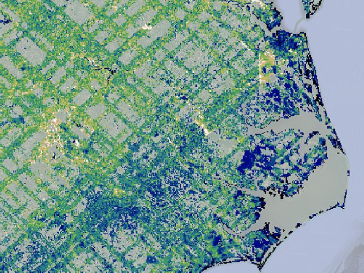
The latest dataset from the GEDI mission provides gridded estimates of aboveground biomass density at greater accuracy and resolution than previously available.