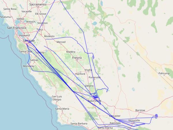
COMEX aircraft
COMEX aircraft flight path

COMEX

CO2 and MEthane eXperiment

The CO2 and Methane Experiment (COMEX) was a field campaign supporting the mission definition of CarbonSat and HyspIRI. Researchers collected representative airborne remote sensing data, as well as ground-based and airborne in situ data. 

These objectives were addressed by a unique combination of VIS/NIR/SWIR hyperspectral remote sensing airborne instrumentation, TIR hyperspectral instrumentation, and NIR/SWIR spectroscopic instrumentation. COMEX also used in situ airborne and ground-based measurements for validation and interpretation support. 

COMEX demonstrated that methane emissions associated with fossil fuel production activities in the Los Angeles area were of sufficient magnitude and size to be observed by space-based instruments.

Principal Investigator

Ira Leifer

Data Centers

ORNL DAAC

Funding Programs

HyspIRI
Image
Study DatesApril 5, 2014 - Aug. 19, 2015
Season of StudyBoreal summer
RegionSouthern California
Spatial Bounds

N: 38°N

S: 33°N

W: 121°W

E: 117°W

Focus AreasAtmospheric Composition
Geophysical Concepts

Air Quality

Atmospheric Chemicals and Trace Gases

Scientific Topics

Carbon Dioxide 

Methane 

Greenhouse Gases 

Emissions 

Air Quality

PlatformInstrument(s)
Campaign VehiclesAutoMObile Greenhouse Gas Surveyor (AMOG)
ER-2Airborne Visible/Infrared Imaging Spectrometer - Classic (AVIRIS-C)
Twin Otter

Airborne Visible InfraRed Imaging Spectrometer - Next Generation (AVIRIS-NG)

Integrated Cavity Output Spectrometer (ICOS)

Generic-Atmospheric State (Gen-AtmsState)

Methane Airborne Mapper (MAMAP)

Mako Airborne Thermal Infrared Imaging Spectrometer (Mako)

Picarro Gas Analyzer

Alpha JetAlpha Jet Atmospheric eXperiment (AJAX)

The following resources provide additional information about the COMEX campaign.