Study Dates | May 27, 1989 - Aug. 24, 1991 |
---|---|
Season of Study | Year-round |
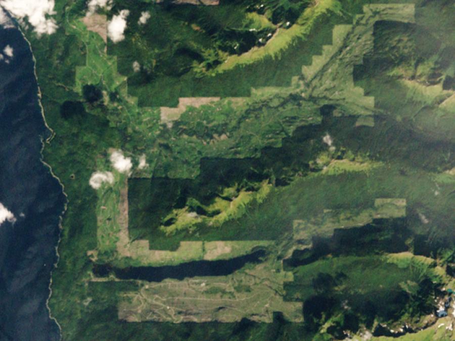
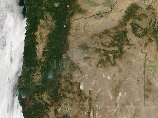
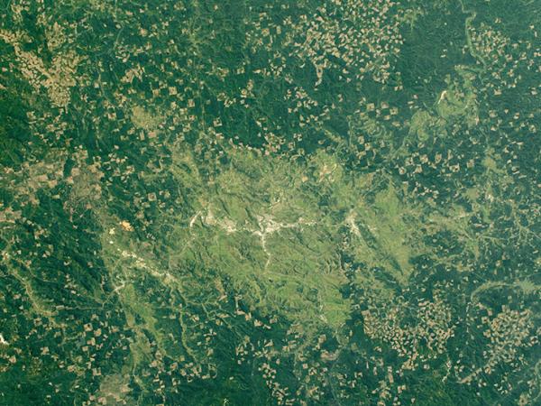
Region | Western coniferous forest in Oregon |
Spatial Bounds | N: 45°N S: 44°N W: 124°W E: 121°W |
Focus Areas | Carbon Cycle and Ecosystems |
Geophysical Concepts | Ecosystems/Biogeochemical Interactions Biodiversity Atmospheric Chemicals and Trace Gases |
Scientific Topics | Carbon Nitrogen Forest Ecosystems Water Flux within Coniferous Forests |


OTTER
The Oregon Transect Ecosystem Research (OTTER) project was a collaborative effort between NASA and several universities to study the ecology of western coniferous forests using remote sensing technology supported by ground observations. The primary objective of the OTTER project was to estimate major fluxes of carbon, nitrogen, and water in coniferous forests using an ecosystem process model.
Principal Investigator
Data Centers
Platform | Instrument(s) |
---|---|
Field Site | Generic-Atmospheric State (Gen-AtmsState) Rain Gauge Pyranometer Modular Multiband Radiometer (MMR) LI-COR Plant Canopy Analyzer Spectron Engineering-590 Spectroradiometer (SE-590) Ceptometer Sunphotometer Digital Camera Stratospheric Infrared Interferometer Spectrometer (SIRIS) Rain Gauge Pyranometer Spectrophotometer |
C-130 | Sunphotometer Advanced Solid-state Array Spectroradiometer (ASAS) Digital Camera Thematic Mapper Simulator (TMS) Thermal Infrared Multispectral Scanner (TIMS) |
DC-8 | Airborne Synthetic Aperture Radar (AIRSAR) |
PA-23 | Compact Airborne Spectrographic Imager (CASI) Fluorescence Line Imager (FLI) |
Cessna Light | Spectron Engineering-590 Spectroradiometer (SE-590) Modular Multiband Radiometer (MMR) |
Quicksilver Model MXLI | Generic-Radiometers (Gen-Radiometers) Spectron Engineering-590 Spectroradiometer (SE-590) |
Vehicle | Spectron Engineering-590 Spectroradiometer (SE-590) Modular Multiband Radiometer (MMR) |
ER-2 |
The following resources provide additional information about the OTTER campaign.