| Study Dates | 1992-06-02 - 1993-05-27 |
|---|---|
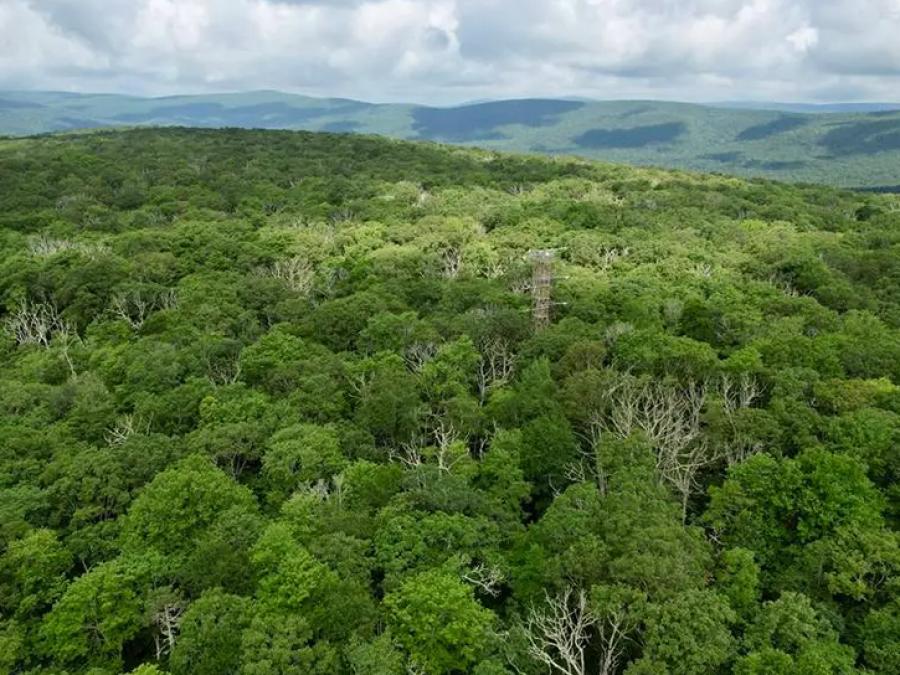
| Region | Harvard Forest, MA Blackhawk Island, WI Howland, ME Gainesville, FL Jasper Ridge, CA Dunnigan, CA Pleasant Grove, CA |
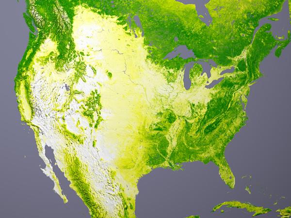
| Spatial Bounds | N: 45°N S: 30°N W: 122°W E: 69°W |
| Data Types | Leaf Level Chemistry Seedling Canopy Level Chemistry Plot Level Chemistry Leaf Spectra Seedling Canopy Spectra Plot Spectra Seedling Architecture |
| Scientific Topics | Canopy Characteristics Climate Indicators Nitrogen Vegetation |
We are in the process of migrating all NASA Earth science data sites into Earthdata from now until end of 2026. Not all NASA Earth science data and resources will appear here until then. Thank you for your patience as we make this transition.
Read about the Web Unification Project