Human Dimensions

The human dimensions discipline includes ways humans interact with the environment and how these interactions impact Earth’s systems. It also explores the vulnerability of human communities to natural disasters and hazards.


Human Dimensions RSS Feed
Human Dimensions

Human activities, such as the conversion of natural land to built-up areas, the cultivation of agricultural land, and the extent and type of agricultural production, movement and consumption of natural resources, can be tracked by sensors aboard Earth observing satellites. The combination of remotely sensed data with data collected by national and sub-national government agencies (such as census, disease, species diversity, and similar data) enables investigations into the impact of human activities on Earth. Additionally, these data are a vital resource for managing disaster response, such as using nighttime lights data to monitor power outages following storms or thermal anomaly data to track the movement of wildfires near populated areas.


Definition source: Colorado State University

You Might Also Be Interested In

Filter By

Content type
Prairie dogs, lemurs, and mandrinette hibiscus plants are just a few of the species affected by human activity.
Article
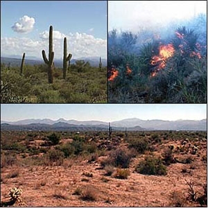
These photographs show the Sonoran Desert in different stages: normal vegetation (upper left), burning desert (upper right), and a landscape with burned areas in the foreground and unburned desert behind.
Article
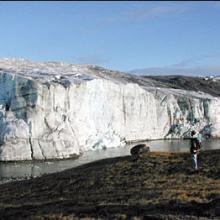
A researcher observes the edge of the Greenland Ice Sheet in 2001. (Image courtesy of Ted Scambos, National Snow and Ice Data Center, University of Colorado at Boulder).
Article
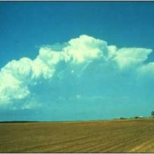
Photograph of a multicell thunderstorm, which may last for several hours and produce severe weather.
Article
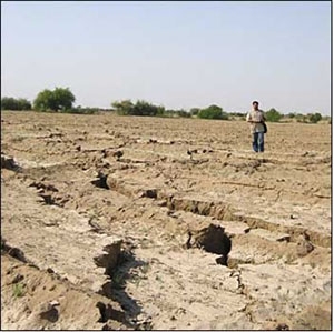
These cracks in the ground surface north of Chobari, India were caused by liquefaction induced during the Bhuj earthquake.
Article
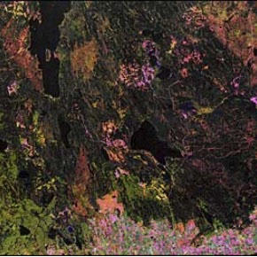
Landsat captured this image of the region around Prince Albert, Saskatchewan in 1990.
Article
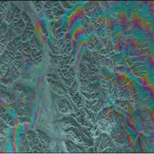
This Synthetic Aperture Radar (SAR) interferogram includes the epicenters of the October 23, 2002, and November 3, 2002 Denali Fault earthquakes, which are located at the extreme western end of the fault rupture.
Article
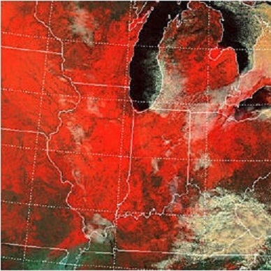
The false-color image above is a MODIS image, captured on January 2, 2001, shows the extent of snow cover over the north-central United States.
Article