Human Dimensions

The human dimensions discipline includes ways humans interact with the environment and how these interactions impact Earth’s systems. It also explores the vulnerability of human communities to natural disasters and hazards.


Human Dimensions RSS Feed
Human Dimensions

Human activities, such as the conversion of natural land to built-up areas, the cultivation of agricultural land, and the extent and type of agricultural production, movement and consumption of natural resources, can be tracked by sensors aboard Earth observing satellites. The combination of remotely sensed data with data collected by national and sub-national government agencies (such as census, disease, species diversity, and similar data) enables investigations into the impact of human activities on Earth. Additionally, these data are a vital resource for managing disaster response, such as using nighttime lights data to monitor power outages following storms or thermal anomaly data to track the movement of wildfires near populated areas.


Definition source: Colorado State University

You Might Also Be Interested In

Filter By

Content type
The image above shows a close-up photograph of krill.
Article
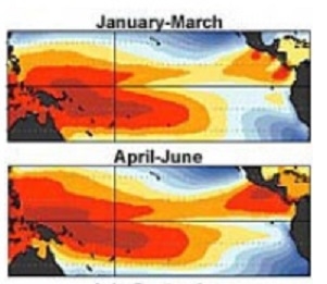
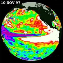
The image above shows mean ocean temperatures in the Pacific (in degrees Celsius)
Article
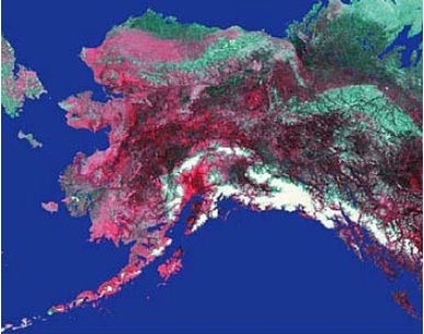
The image above is an Advanced Very High Resolution Radiometer (AVHRR) satellite image of Alaska.
Article
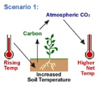
The image above shows how researchers selected global eight-kilometer AVHRR Pathfinder data from the Goddard Space Flight Center DAAC to perform their studies on carbon storage and plant growth.
Article
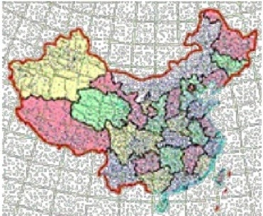
The image above shows a map of China.
Article
The Public Use Microdata Samples (PUMS) are computer-accessible files containing records for a sample of housing units
Article
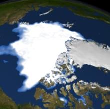
The image above shows SSM/I sea ice minimum from 1979
Article