Human Dimensions

The human dimensions discipline includes ways humans interact with the environment and how these interactions impact Earth’s systems. It also explores the vulnerability of human communities to natural disasters and hazards.


Human Dimensions RSS Feed
Human Dimensions

Human activities, such as the conversion of natural land to built-up areas, the cultivation of agricultural land, and the extent and type of agricultural production, movement and consumption of natural resources, can be tracked by sensors aboard Earth observing satellites. The combination of remotely sensed data with data collected by national and sub-national government agencies (such as census, disease, species diversity, and similar data) enables investigations into the impact of human activities on Earth. Additionally, these data are a vital resource for managing disaster response, such as using nighttime lights data to monitor power outages following storms or thermal anomaly data to track the movement of wildfires near populated areas.


Definition source: Colorado State University
You Might Also Be Interested In

Filter By

Content type
The International Geosphere-Biosphere Programme (IGBP) is taking the first steps towards attaining a better understanding of the effects of biome perturbations.
Article
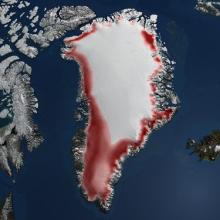
The image above shows the Greenland Ice Sheet
Article
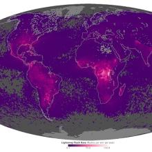
The map above shows the average yearly counts of lightning flashes per square kilometer from 1995 to 2013
Article
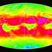
The ERBE image above shows longwave radiation from April 1985.
Article
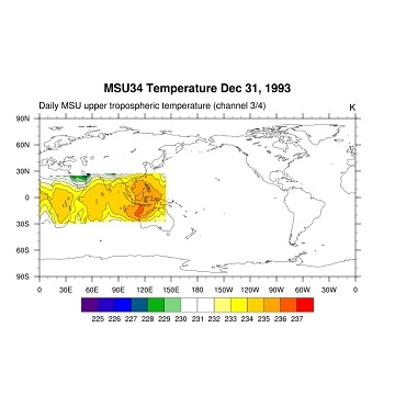
The image above shows Daily MSU upper tropospheric temperature (channel 3/4) from Dec 31, 1993.
Article
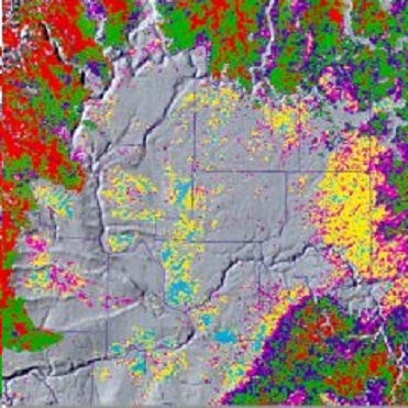
The AVHRR image above shows Land Cover- (Vegetative Use) for the Columbia Plateau in June 1993.
Article
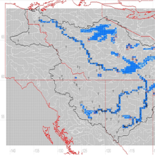
The image above shows a GreenKenue (GK) picture of the Mackenzie River watershed reaches from 2016.
Article
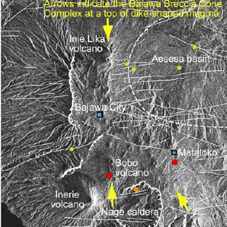
The JERS-1 SAR image above shows the Bajawa Breccia Cone Complex in Eastern Indonesia from February 3, 1996.
Article