We are in the process of migrating all NASA Earth science data sites into Earthdata from now until end of 2026. Not all NASA Earth science data and resources will appear here until then. Thank you for your patience as we make this transition.
Read about the Web Unification Project
NISAR Resources
Read the latest NISAR news and access learning resources designed to help you optimize your Earth science research.
NISAR Learning Resources
This presentation demonstrates how to calculate coefficient of variation with OpenScienceLab using OPERA RTC data.
Webinar

This presentation shows how to use the Vertex SAR data tool and the HyP3— which is a free service that offers on-demand processing of SAR data.
Webinar

Access 25 tutorials for using NISAR sample data in a GIS environment, using Panoply, and transforming the data using GDAL commands.
Tutorial

This video features Day 1 of the NISAR ISRO Community Workshop held on Aug. 3, 2023. It includes an introduction to SAR, Vertex, InSAR, and HyP3.
Webinar
SHOWING 4 OF 20
NISAR News
View All News
Quick Filters
Experts from NASA's Alaska Satellite Facility (ASF) introduce the basic principles of synthetic aperture radar (SAR) data.
Webinar

In this video, Rudi Gens provides an introduction to NASA’s Observational Products for End-Users from Remote Sensing Analysis (OPERA) project data product suite.
Webinar
View an introduction to the NISAR Early Adopters Workshop and associated agenda and speakers.
Webinar
This presentation demonstrates how to calculate coefficient of variation with OpenScienceLab using OPERA RTC data.
Webinar
This presentation shows how to use the Vertex SAR data tool and the HyP3— which is a free service that offers on-demand processing of SAR data.
Webinar

A summary of datasets, products, and resources released by NASA’s Distributed Active Archive Centers (DAACs) in December 2023.
News

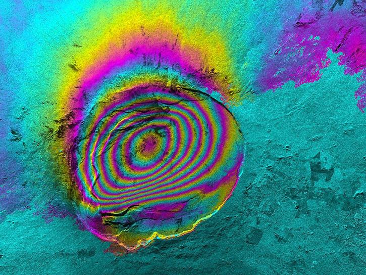
The NASA/Indian Space Research Organization (ISRO) SAR (NISAR) project team has created sample products using JAXA ALOS-1 PALSAR data as a surrogate for NISAR.
News

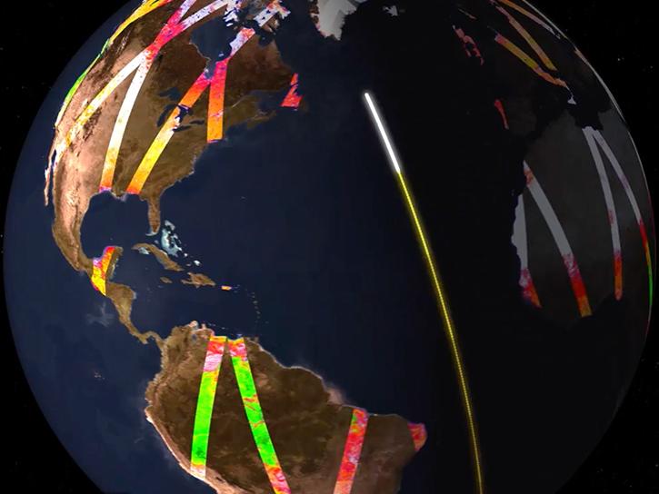
The Multi-Mission Algorithm and Analysis Platform provides the aboveground terrestrial carbon research community with airborne and space-based data that provides improved geographic coverage at better spatial resolutions.
Blog
SHOWING 8 OF 37
Frequently Asked Questions
Earthdata Forum
Our online forum provides a space for users to browse thousands of FAQs about research needs, data, and data applications. You can also submit new questions for our experts to answer.
Submit Questions to Earthdata Forumand View Expert Responses