Taking Flight with CASEI in the Classroom

Students gained experience using CASEI to explore NASA field campaigns and learn how to download and visualize the campaign data in ArcGIS Pro software.
author-share
Image
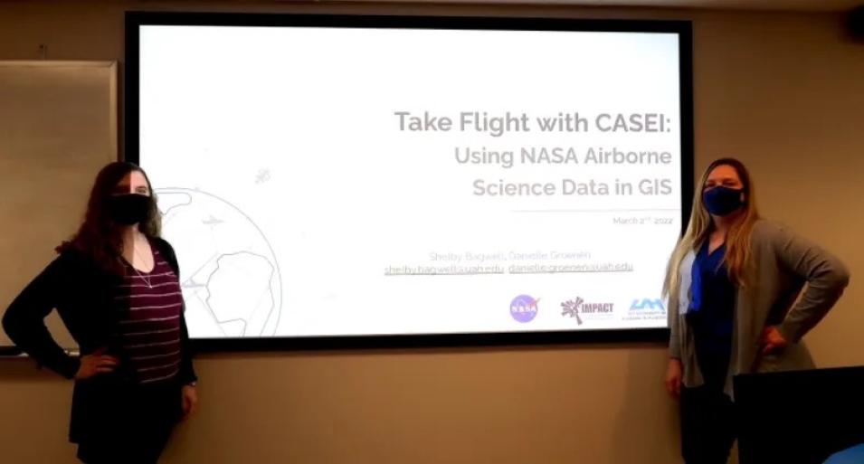
Shelby Bagwell and Dr. Danielle Groenen, both wearing masks, stand before a screen that reads "“Take Flight with CASEI: Using NASA Airborne Science Data in GIS.”
Shelby Bagwell and Dr. Danielle Groenen from NASA IMPACT present “Take Flight with CASEI: Using NASA Airborne Science Data in GIS.”

The Airborne Data Management Group (ADMG) had the exciting opportunity to engage with Earth science undergraduate students in a university classroom setting. On March 2, 2022, Shelby Bagwell and Dr. Danielle Groenen presented the Catalog of Archived Suborbital Earth Science Investigations (CASEI) knowledge portal to an Introduction to GIS class at the University of Alabama in Huntsville (UAH). The ADMG team, including graduate student Lucia Alonso Guzman and undergraduate student Jillian Ethridge, both of UAH, designed the interactive lesson with course instructor Megan Sirbaugh. The lesson showcased the CASEI website, NASA airborne observations, and NASA student opportunities such as the Student Airborne Research Program (SARP).

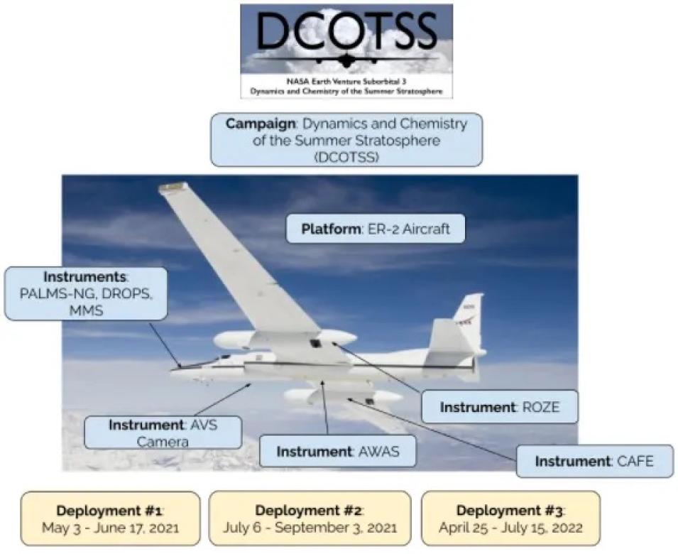
The lesson’s objective was for students to gain experience using CASEI to explore NASA field campaigns and learn how to download and visualize the campaign data in ArcGIS Pro software. The first part of the class was an introduction to NASA airborne observations, a general overview of the CASEI website and instruction on searching for different types of campaigns and information in CASEI by filtering campaigns by geographical region or NASA Earth science focus areas. The team explained key definitions such as field campaign, deployment, platform, and instrument. These terms, often confusing for non-experts, were illustrated using graphics such as the schematic below. The team also used a social media post to demonstrate that metadata is “data about data.”
Image
Graphic showing key airborne data keywords and their definitions
Schematic diagram created to explain CASEI’s key definitions, using the example of the Dynamics and Chemistry of the Summer Stratosphere (DCOTSS) campaign. Key terms include (field) campaign, platform, instruments, and deployments. The ER-2 aircraft is owned by NASA and managed by the Airborne Science Program, and participates in many campaigns. For DCOTSS, the instruments onboard this high-altitude platform are indicated above and were used to measure characteristics of the stratosphere.

The second part of the lesson was an exploration activity where students chose a campaign in CASEI and answered questions about the campaign’s objectives, platforms, and instruments. In the third part of the class, the students explored the details of the Arctic-Boreal Vulnerability Experiment (ABoVE) field campaign using CASEI. Students got hands-on experience with the workflow of exploring the campaign to discover what measurements were taken by instruments aboard the airplanes, downloading permafrost data from the Oak Ridge National Laboratory Distributed Active Archive Center (ORNL DAAC), and visualizing it using the ArcGIS Pro software.

Image
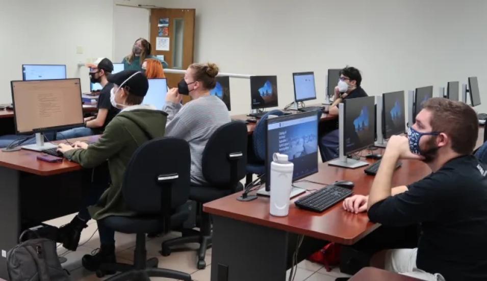
College students sit in a lecture hall in front of computer screens
Undergraduate students at the University of Alabama in Huntsville (UAH) learn how NASA airborne data can be used in GIS applications.

Shelby Bagwell joined the ADMG team as an undergraduate student metadata curator and transitioned to full-time NASA IMPACT employee after graduating in May 2021. She saw the potential for the CASEI website as an instructional tool in college classrooms as a way to help students sift through the data and metadata associated with these important NASA datasets. CASEI exposes students to different areas of Earth science research, showing that NASA not only produces satellite data, but also data from airplanes, drones, helicopters, and ground stations, to name a few.

Shelby Bagwell describes her motivation for this initiative:

"Working at IMPACT as a student gave me an opportunity to learn about how broad the field of Earth Science is. Being able to learn about the different areas of research as an undergraduate student is important, and I’m excited that CASEI can help students during their academic careers learn about NASA’s research efforts."

Image
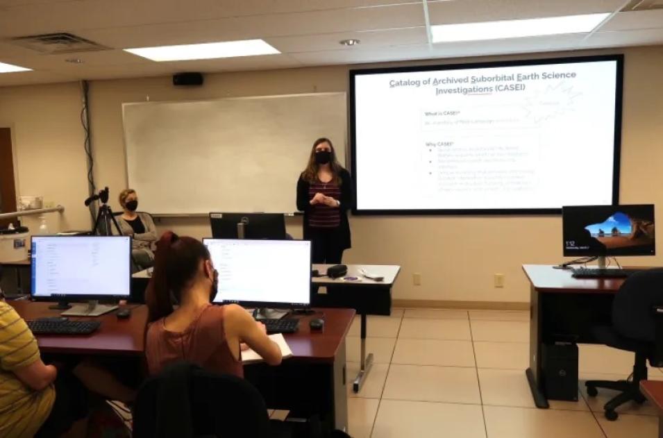
Shelby Bagwell addresses students in a lecture hall
Shelby Bagwell explains that metadata is contextual information about NASA Earth science data, as Megan Sirbaugh looks on.

The undergraduate students were enthusiastic and engaged throughout the lesson. Students were a mixture of Earth System Science majors, with Geographical Information System (GIS), atmospheric science, and biology students.

Instructor Megan Sirbaugh said this about the interactive lesson on CASEI:

"The Atmospheric & Earth Science Department at UAH is so fortunate to have close ties with our NASA partners so that our students can have opportunities to learn from scientists working on amazing projects! Utilizing CASEI made it easy for the students to search for and learn about NASA airborne data, exposed them to the data collection process, and tied what they learn in class to real world applications."

The CASEI website continues to be further developed and refined. It currently contains key contextual metadata for over 71 NASA airborne and field campaigns and provides links to the associated data products. CASEI is a unique inventory of intensively curated information about the context, research motivation, funding, and details of suborbital instruments and platforms. Read more about CASEI on the IMPACT blog.

Last Updated