Image
Typical workflow for historical analog data recovery process.

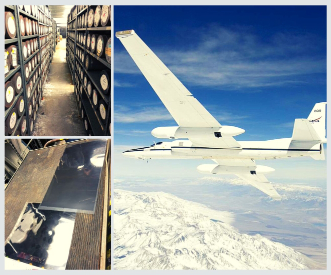
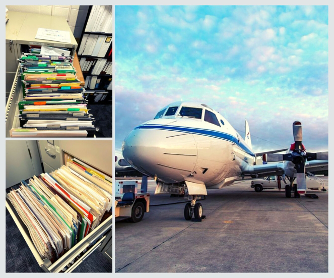
Over the past several decades, NASA has collected airborne and field data to carry out research, validate satellite observations, and test new instruments. Analog data from these historical data collection efforts are often discarded and underutilized due to how difficult the data are to locate and use in a more digital age. In some cases, the data or data archive locations are scheduled to be eliminated, leading to complete loss of valuable data. 

To help preserve these datasets, the Airborne Data Management Group (ADMG) facilitates data recovery efforts to ensure easier discovery, access, and use. ADMG works to locate the data, devise a plan for data transfer, secure funding, and facilitate DAAC assignment for archiving data. This effort allows more users to have access to these valuable historical datasets and supports open science initiatives.

If you have any NASA airborne and field data and need assistance with the data recovery process, please contact ADMG at admg@uah.edu; we will be happy to help!

ADMG data recovery effort examples:

ER-12 High-Resolution Air Photos

What: High resolution photos taken nadir view during 1970s to 2000.

Value: Photos could be used for land cover change studies.

Effort: More than 6,000 photos that require special equipment for digitization; process to take more than 5 years.

Outcome: Data delivered directly to NASA with DAAC support for tool development, making image discovery and exploration easy.


P-3 Campaign History

What: Paper records at NASA's Wallop's Flight Facility (WFF) providing detailed information about P-3 campaign history from 1991 to 2007.

Value: P-3 flight information prior to 2007 is not digitized and is difficult to locate. Capturing instrument placement by campaign is vital to data use.

Effort: Traveled to WFF and recorded information about each campaign that used the P-3; scanned flight plan documents for digitization.

Outcome: Metadata added to CASEI and detailed history provided to NASA's Airborne Science Program for better access to this information.


GTE DC-8 Videos

What: Nadir, side, and forward-view video cameras captured environment and ground conditions on the NASA DC-8 during the Global Tropospheric Experiment program.

Value: Videos useful for interpreting instrument data.

Effort: Approximately 900 VHS tapes with hours of footage that needed to be digitized.

Outcome: Analog materials delivered to a DAAC for digitization, uploaded to the NASA cloud environment, and made accessible with a video viewer.


Last Updated