The Common Metadata Repository (CMR) is experiencing degraded service. We apologize for the inconvenience. Thank you for your patience.
Filters
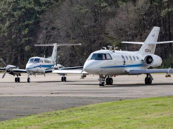
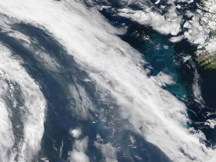
Join NASA's Aerosol Cloud Meteorology Interactions Over the Western Atlantic Experiment (ACTIVATE) team for a workshop about this airborne field campaign and its data.
Nov. 20, 2024,11:00 a.m. - 3:00 p.m. EST(1600-2000 UTC)
Join NASA's Prediction Of Worldwide Energy Resources (POWER) Project November 6-7 for the third virtual GloCo Summit. Learn about new POWER tools for using NASA Earth Science data and engage with keynote speakers from the POWER community.
Nov. 6-7, 2024,10:50 a.m. - 3:00 p.m. EST(1550-2000 UTC)
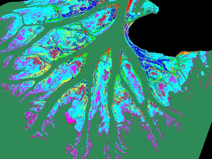
View presentations from the 2024 Delta-X Applications Workshop.
May 8-9, 2024,9:00 a.m. - 5:00 p.m. EDT(1300-2100 UTC)
Organized by the Airborne and Field Data Working Group, the Second Airborne and Field Data Workshop gathered input to improve the usability of airborne and field data, with a focus on tools and standards.
April 23-24, 2024,12:00-4:00 p.m. EDT(1600-2000 UTC)
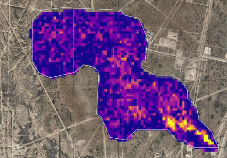
This 2-hour virtual workshop on March 14, 2024, demonstrates how to use methane data products from NASA's Earth Surface Mineral Dust Source Investigation (EMIT) mission.
March 14, 2024,3:00-5:00 p.m. EDT(1900-2100 UTC)
Join NASA's Aerosol Cloud Meteorology Interactions Over the Western Atlantic Experiment (ACTIVATE) science team for a free and open hybrid data workshop Nov 13-15, 2023.
Nov. 13-15, 2023,10:30 a.m. - 2:00 p.m. EST(1530-1900 UTC)
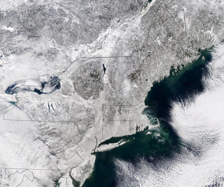
Join us on October 24, 2023, for the fourth Data User Workshop for Investigation of Microphysics and Precipitation for Atlantic Coast-Threatening Snowstorms (IMPACTS).
Oct. 24, 2023,9:00 a.m. - 3:30 p.m. EDT(1300-1930 UTC)
Join NASA's Prediction Of Worldwide Energy Resources (POWER) Project October 11-12 for the second virtual Global Community (GloCo) Summit. Learn about the Project’s latest enhancements, help drive future improvements, and engage with keynote speakers from the POWER community.
Oct. 11-12, 2023,3:00 p.m. - 10:30 a.m. EDT(1900-1430 UTC)
