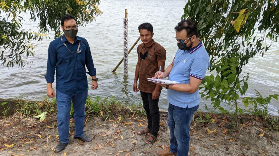
More than 70% of land in Bangladesh is devoted to agriculture, and almost half of Bangladeshis are employed in the agriculture sector. Knowing the availability of surface water throughout the country is critical information for water-food security decisions. Until recently, however, the Bangladesh government did not have accurate figures about surface water storage. A NASA Citizen Science for Earth Systems Program (CSESP)-funded effort is providing the first quantification of the total volume of water stored in lakes and wetlands in Bangladesh.
The work is part of a project called Lake Observations by Citizen Scientists and Satellites (LOCSS). Led by Principal Investigator Dr. Tamlin Pavelsky at the University of North Carolina at Chapel Hill, LOCSS is a global effort to better understand changes in lake water volume. Using lake water height measurements collected by a network of citizen scientists combined with satellite images (for estimating lake surface area), researchers can calculate the volume of water in a lake, monitor changes in volume, and predict how these changes may impact humans and wildlife.
While the Bangladesh government had records of water levels for specific locations, it did not have these data at regional scales. A LOCSS team led by Dr. Faisal Hossain at the University of Washington used NASA satellite data to develop a method to track water storage in various regions of Bangladesh and created several data products to interpret these data.
The Bangladesh government found these data so valuable for agriculture and water resources planning that it is adopting the data products and investing more than $150,000 (U.S.) to build a nationwide citizen science-based surface water monitoring network.
