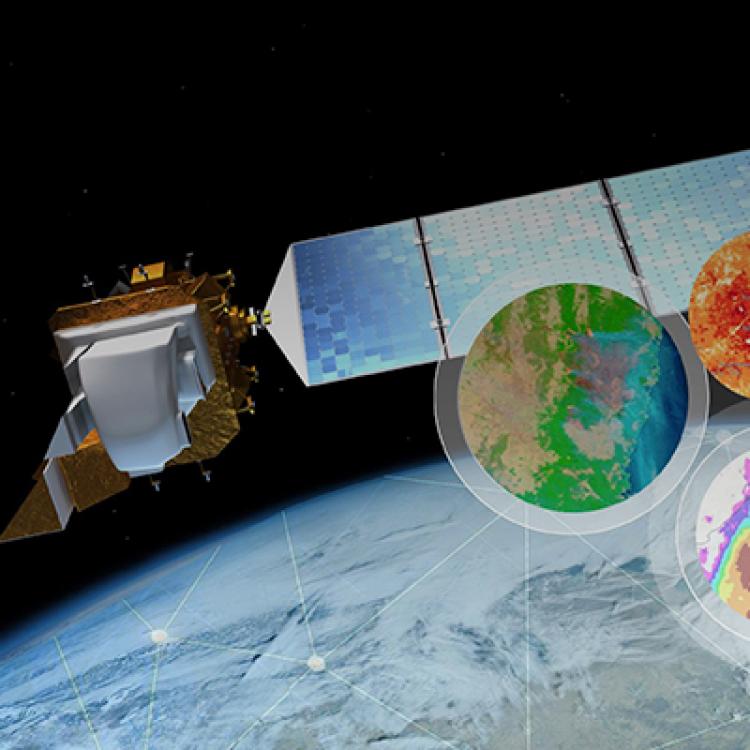
The vision of NASA's Earth Science Data Systems (ESDS) Program is to identify and deliver high value Earth science data in formats compliant and compatible with GIS standards; to ensure data are interactive, interoperable, available, and GIS-enabled through primary GIS platforms; and to provide the maximum impact to research, education, and public user communities requiring data visualization and spatial analysis. Below, learn how NASA is working to enable this mission.

GIS at NASA
Discover, explore, and access Geographic Information Systems (GIS) resources to better understand our planet. Using GIS, you can leverage NASA's Earth observations to perform analysis, create maps, and develop applications.
Image services are a way to process and share collections of imagery. These types of services provide considerable flexibility and scalability for storing, processing, analyzing, and sharing raster products, including multiband or multidimensional data.
These services leverage a powerful server back end to perform the required processing on-the-fly and dynamic mosaicking of images. These applications can access the imagery as a seamless mosaic or query into the metadata of each image to display only a selection of the data or apply processing across datasets to find differences or perform classification. These processes can include reprojection, orthorectification, clipping, the application of complex image processing algorithms, and more.
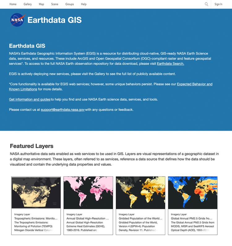
To host our collection of image services, NASA Earth Sciences has stood up an enterprise Earthdata Geographic Information System (EGIS), a resource for distributing cloud-native, GIS-ready NASA Earth observation data, services, and resources. The goal of EGIS is to provide a consistent user experience across NASA programs and projects in order to enhance resource discovery through primary platforms commonly used by the GIS community. Within a browser window or desktop GIS software, these flexible and scalable services empower our users to visualize, explore, analyze, and share NASA Earth Observation data, all without having to download a single file. EGIS currently hosts 250 imagery layers, featuring data from missions such as VIIRS, TEMPO, POWER, and GPW.
Additionally, the ArcGIS Living Atlas of the World is the foremost collection of geographic information from around the globe, including maps, apps, and data layers to support geospatial efforts. As seen below, NASA is working to continually increase the number of NASA layers featured within the Living Atlas of the World.
NASA Earthdata as Open Geospatial Consortium (OGC) Web Mapping Services (WMS)
NASA's Global Imagery Browse Services (GIBS) system provides visualizations of NASA Earth Science observations through standardized web services. These services deliver global, full-resolution visualizations of satellite data to users in a highly responsive manner, enabling interactive exploration of Earth. GIBS provides quick access to over 1,000 satellite imagery products, covering every part of the world. Most imagery is updated daily, available within a few hours after satellite observation, and some products span almost 30 years.
GIBS provides access through five mechanisms:
- An Open Geospatial Consortium (OGC) Web Map Tile Service (WMTS) that supports key-value-pair and Representational State Transfer (REST)ful tiled requests
- An OGC Web Map Service (WMS) that supports a key-value-pair non-tiled requests
- A Tiled Web Map Service (TWMS), an unofficial extension to the OGC WMS, that supports key-value-pair tiled requests that match the exact geographic tile boundaries
- Script-level access through the Geospatial Data Abstraction Library (GDAL)
GIBS visualizations are accessible through standards-compliant web services that allow you to access directly GIBS visualizations directly within many GIS clients. You can explore how-to guides on accessing GIBS here.
Working with Synthetic Aperture Radar Data in GIS
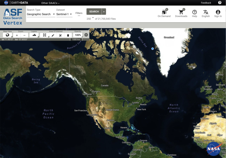
Interested in Synthetic Aperture Radar (SAR)? The Synthetic Aperture Radar data basics page will help you learn about the benefits and limitations of these powerful data. Vertex is a data search tool created by NASA's Alaska Satellite Facility DAAC (ASF DAAC) that provides access to a wide array of archived synthetic aperture radar (SAR) data. It also provides access to on-demand processing for Copernicus Sentinel-1 data, which allows users to generate analysis-ready products such as Radiometric Terrain Corrected (RTC) images or Interferometric SAR (InSAR) interferograms from archived Sentinel-1 data.
Also, ASF DAAC provides StoryMap tutorials with step-by-step demonstrations that show how to order On-Demand RTC and On-Demand InSAR products. Additional StoryMap tutorials provide guidance on using the custom ArcGIS Toolbox with RTC products and an exploration of InSAR products, including information how to interpret and use them.
Working with Multidimensional Data in GIS
Over the years, desktop GIS software have increased support for integrating and analyzing multidimensional scientific data formats (like NASA Earth observation data) in their platforms. Two commonly used GIS software programs are QGIS and Esri ArcGIS Pro. If you do not have these software packages, visit the following links for more information:
- QGIS (free to download and use)
- Esri ArcGIS Pro
Watch GIS-Focused Content
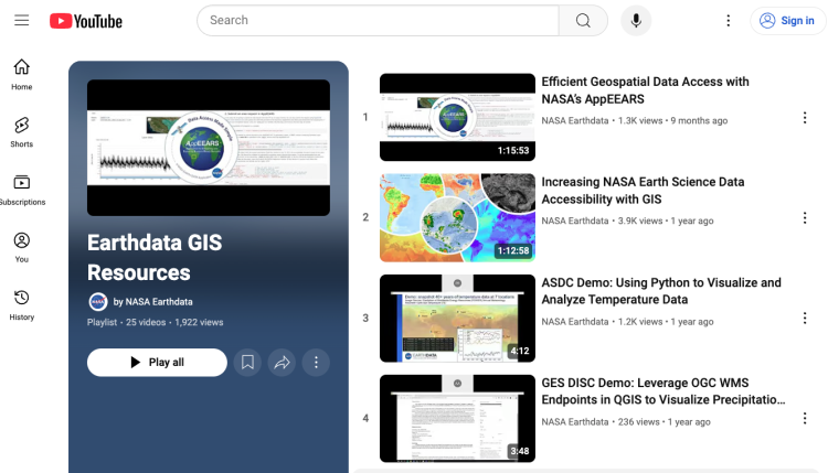
On NASA’s Earthdata YouTube channel, you can find a playlist dedicated to GIS at NASA Earth Sciences. The playlist features GIS tool deep dives, GIS data explorations, and helpful video tutorials and guides. If you’re just getting started, we recommend checking out “Increasing NASA Earth Science Data Accessibility with GIS,” which is an hour-long Earthdata webinar given by several GIS subject matter experts at NASA who explore using Earth Science’s specialized image, feature, and geoprocessing services to interact with GIS applications without manual data processing.
Tour NASA Earth Science StoryMaps
Scroll through these narrative resources created by NASA Earth Science to unearth the types of stories you can tell with our data. Click on the links below to check out the interactive text, images, GIFs, videos, and learning content offered below.
Explore Thematic GIS Applications
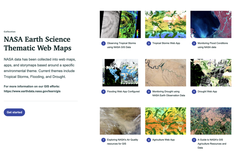
You can create and explore interactive GIS products by combining high-value data together in an interactive, informative, web-based application. Below, you can find a webpage dedicated to highlighting these types of resources at NASA. Each of these applications and web maps are focused on key topics or themes that enable our users to discover the best available data from NASA that can be used to understand the complex challenges facing our world.
