References
Abrams, M., Hook, S., and Ramachandran, R., ASTER user handbook version 2, accessed August 25, 2016.
Day, W.C., Frost, T.P., Hammarstrom, J.M., and Zientek, M.L., eds., 2016, Mineral Resources of the Sagebrush Focal Areas of Idaho, Montana, Nevada, Oregon, Utah, and Wyoming: U.S. Geological Survey Scientific Investigations Report 2016–5089. doi:10.3133/sir20165089
Dicken, C.L., and San Juan, C.A., 2016, Bureau of Land Management's Land and Mineral Legacy Rehost System (LR2000) mineral use cases for the Sagebrush Mineral-Resource Assessment, Idaho, Montana, Nevada, Oregon, Utah, and Wyoming: U.S. Geological Survey data release. doi:10.5066/F7RX996K
Gunther, G., Graeber, L., Drake, A., and Ii, R., 2016, Cumulative production per township – SaMiRa, accessed September 7, 2016.
NASA Jet Propulsion Laboratory, 2004, ASTER Instrument Characteristics, accessed August 25, 2016.
NASA Jet Propulsion Laboratory, 2004, SWIR, accessed August 25, 2016.
Rockwell, B.W., 2012, Description and validation of an automated methodology for mapping mineralogy, vegetation, and hydrothermal alteration type from ASTER satellite imagery with examples from the San Juan Mountains, Colorado: U.S. Geological Survey Scientific Investigations Map 3190, 35 p. pamphlet, 5 map sheets, scale 1:100,000. (Revised February 2013), accessed August 25, 2016.
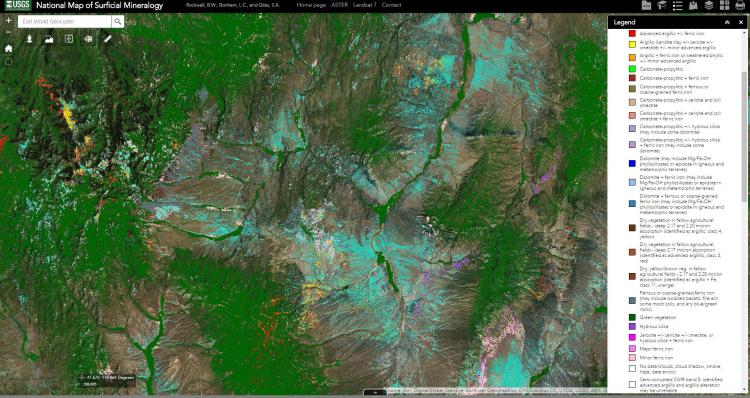
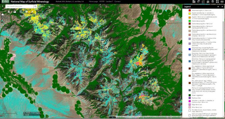
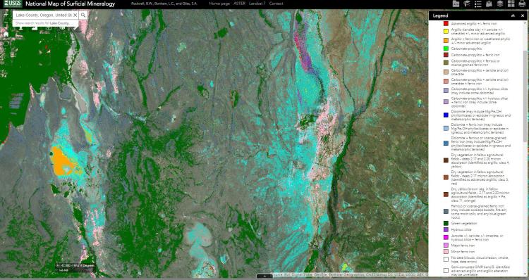
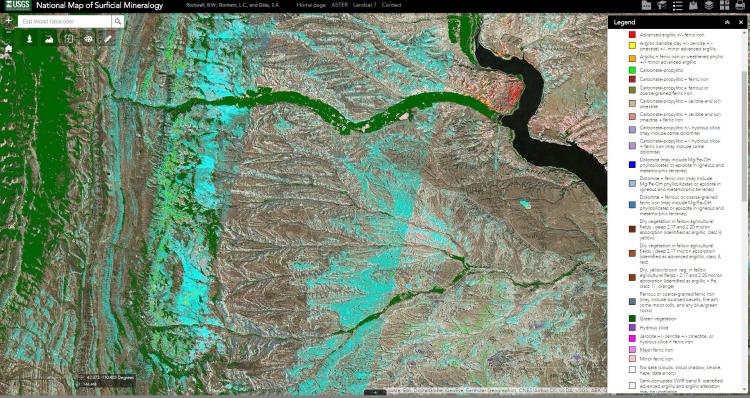
Rockwell, B., Bonham, L. and S. Giles., 2015, USGS National Map of Surficial Mineralogy Web Viewers: U. S. Geological Survey Online Map Resource, accessed August 2, 2016.
Rockwell, B., Bonham, L. and S. Giles., 2015, USGS National Map of Surficial Mineralogy: U. S. Geological Survey, accessed August 2, 2016.


