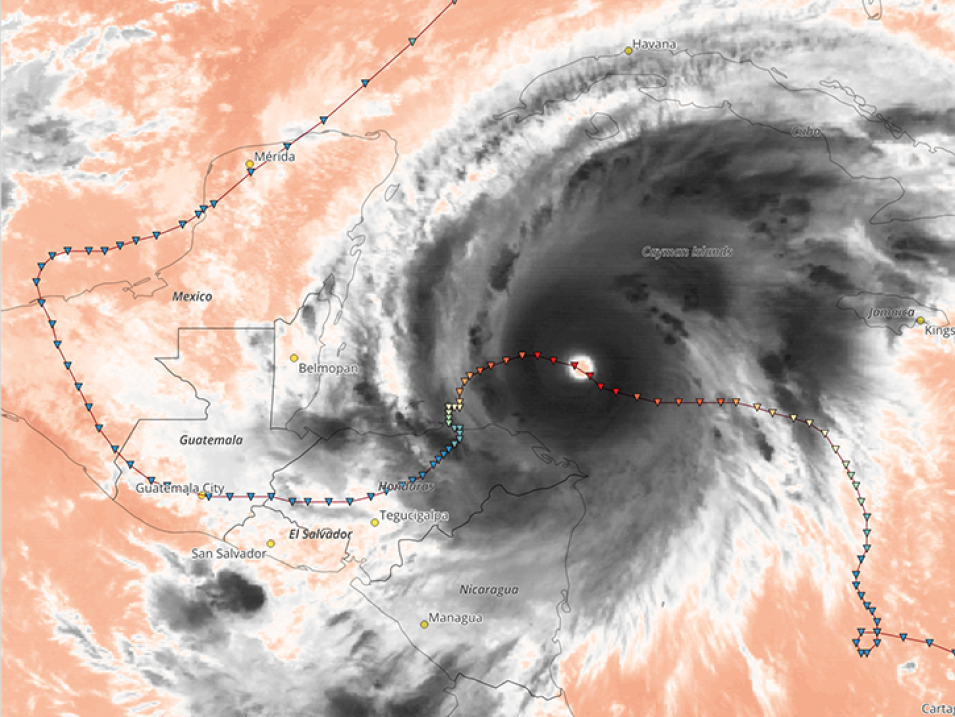
The NASA Global Precipitation Measurement (GPM) mission and the Goddard Earth Sciences Data and Information Services Center (GES DISC) announced a significant update to the CPC 4 km Infrared (IR) dataset archive. The dataset now extends back to January 1998, offering over 25 years of high-resolution infrared observations and continuing into the present.
This key environmental dataset, produced operationally by NOAA’s Climate Prediction Center (CPC), merges observations from geosynchronous satellites around the globe to generate uniformly processed thermal infrared maps. Data are available every 30 minutes at 4 km spatial resolution, covering the region from 60°N to 60°S—the zone of effective geostationary satellite coverage.
