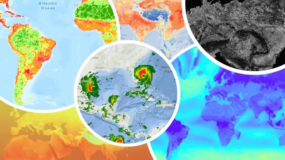
NASA’s Earth Science Data Systems (ESDS) Program has invested in Open Science by migrating its Earth science datasets to the cloud and deploying Esri and Open Geospatial Consortium (OGC)-compliant web services to support enhanced data discovery, access, visualization, and analysis. In this initiative, specialized image, feature, and geoprocessing services are developed to interact with Geographic Information Systems (GIS) applications without manual data processing. NASA’s curated web services enhance access to Earth Observation (EO) and Human Dimensions (HD) data. These services allow users to spatially and temporally analyze multidimensional high-use datasets natively in primary GIS tools and software.
Join us to learn more and see Earthdata GIS in action as we demonstrate these services and capabilities.
