Webinar: GNSS Products at NASA's CDDIS for Disaster Monitoring, Crustal Deformation, Extreme Weather, and Other Applications

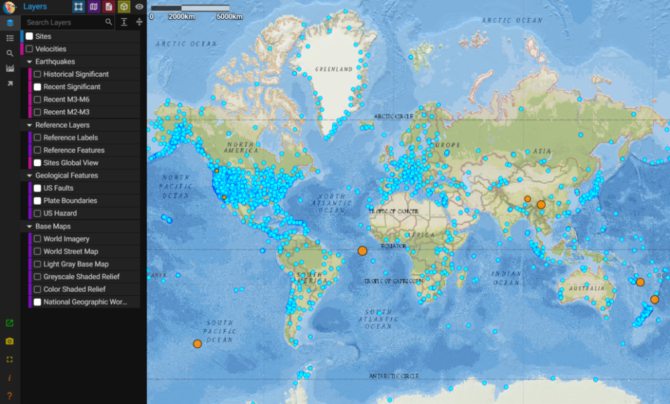
Join us on Sept. 28 to learn about the NASA Making Earth System Data Records (ESDR) for Use in Research Environments (MEaSUREs) Extended Solid Earth Science ESDR System (ESESES) project, whose Global Navigation Satellite System (GNSS)-derived data products enable research on tectonic motion, crustal deformation, earthquakes, tsunamis, sea level rise, extreme weather, and more!
Event Container
Event Photo
Event Details Container
Event Details
Presenter
Dr. Patrick Michael, CDDIS; Dr. Yehuda Bock, Scripps Orbit and Permanent Array Center, U. of California San Diego; Dr. Angelyn Moore, Ionospheric and Atmospheric Remote Sensing Group, JPL, California Institute of Technology
Hosted By
EOSDIS Communications Team
Start
End
Location
Online (2:00 PM EDT [UTC/GMT-4])
Event Buttons
Image

Brought to you by NASA’s only space geodesy archive, the Crustal Dynamics Data Information System (CDDIS), this webinar introduces Dr. Yehuda Bock, Director of the Scripps Orbit and Permanent Array Center at the Scripps Institution of Oceanography at the University of California San Diego, and Dr. Angelyn Moore, Scientist with the Ionospheric and Atmospheric Remote Sensing group at NASA’s Jet Propulsion Laboratory in Southern California, who will present an overview of the derived data products available at CDDIS.

Discover and access ESESES products at CDDIS

Learn more about NASA's Space Geodesy data archive at CDDIS
Last Updated