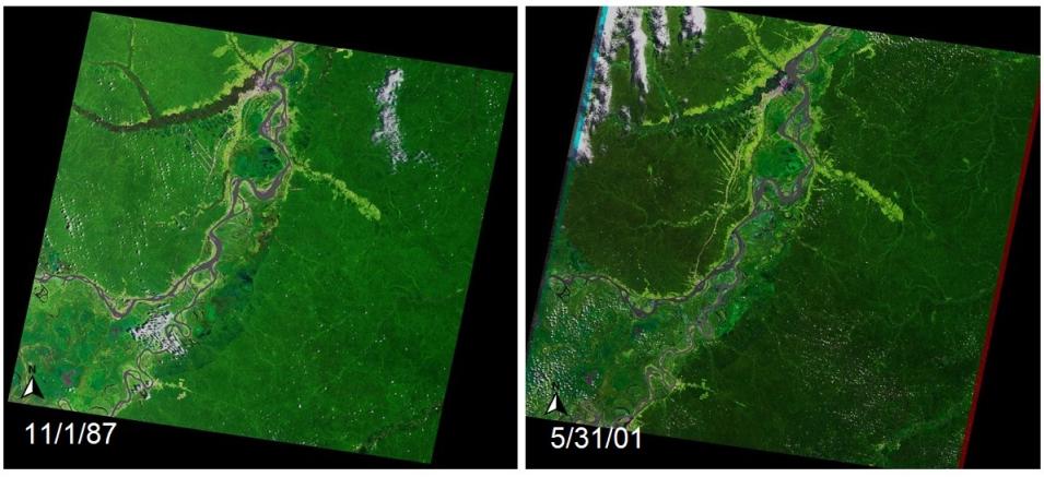
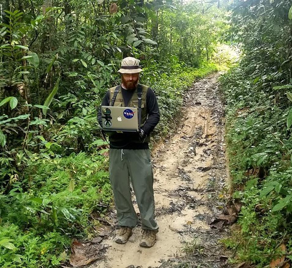
Using Landsat data, Bullock developed the open source Continuous Degradation Detection (CODED) algorithm for mapping tropical forest degradation and deforestation using time series analysis of Landsat data. The motivation behind the CODED project was to develop a methodology that could successfully identify low-magnitude forest disturbances and help better differentiate between deforestation and degradation. When applying the CODED methodology to the Amazon Ecoregion, Bullock and his colleagues found that since 1995 approximately the same amount of forest has been affected by degradation as has been affected by deforestation due to causes such as fire and selective logging. Consequently, the research team found that the Amazon is 44 to 60 percent more disturbed than previously reported, corresponding to unaccounted carbon emissions and damage to critical ecosystems.
Bullock is piloting the CODED methodology for use as part of the United Nations Reducing Emissions from Deforestation and Degradation in Developing Countries (REDD+) program (the “+” stands for “plus the sustainable management of forests, and the conservation and enhancement of forest carbon stocks”). REDD+ is a United Nations initiative created to reduce emissions from deforestation and forest degradation, and offers financial incentives for developing countries to reduce emissions from forested lands and invest in low-carbon paths to sustainable development. REDD+ activities are taking place in 64 countries, and Bullock has taught his CODED methodology in South America, Africa, and Southeast Asia in support of REDD+ activities.
Bullock also utilizes near real-time (NRT) data in his work. He was part of a team that used daily data acquired by the Moderate Resolution Imaging Spectroradiometer (MODIS) instrument aboard NASA’s Terra (launched in 1999) and Aqua (launched in 2002) Earth observing satellites to create automated NRT alerts for new areas of deforestation. This is an important element in deforestation monitoring since, as the research team notes, rapid detection of deforestation events is vital for preventing future forest losses and for mitigating the negative effects of deforestation, such as increased carbon emissions, detrimental environmental impacts, and the endangerment of native and local communities.
NASA’s EOSDIS provides access to numerous NRT products, including MODIS NRT products, through NASA’s Land, Atmosphere Near real-time Capability for EOS (LANCE). Since MODIS acquires full global data and imagery every one-to-two days, it provides excellent spatial and temporal coverage. Its frequency of coverage also ensures enough cloud-free images to enable rapid assessment and comparison of specific areas of interest over days, months, or years.
Bullock and his colleagues created two algorithms using MODIS data. The first algorithm, NRT-Continuous Change Detection and Classification (NRT-CCDC), is based on an existing CCDC algorithm using MODIS data that has been used for land cover monitoring in New England, China, and Columbia. The research team modified the CCDC algorithm to focus on NRT disturbance detection, with detected disturbances labeled as low-probability, high-probability, or confirmed based on the number of consecutive observations exceeding a change threshold, with an alert triggered for detected low- and high-probability disturbances.
The second algorithm, called Fusion2, utilizes daily Terra and Aqua MODIS observations to rapidly detect disturbance using a model based on a time series of Landsat observations. The research team found that both the NRT-CCDC and Fusion2 algorithms showed higher performance detecting large deforestation events than small events and that the Fusion2 algorithm detects forest disturbance slightly more rapidly than the NRT-CCDC algorithm.


