Beginning in summer 2000, the University of Toledo hosted a “Global Change and Remote Sensing Seminar” for elementary and secondary teachers in Ohio, Michigan, and Pennsylvania. During the seminar, Czajkowski introduced the teachers to climate-related topics, such as solar radiation, weather observing techniques, satellite imagery, and global climate change issues.
Janet Struble, a science educator and visiting faculty member at the University of Toledo who managed the seminar, helped the teachers develop classroom lesson plans based on Czajkowski’s scientific discussions. These lesson plans introduced students to principles of remote sensing and global climate change through hands-on data collection.
According to Struble, many children don’t understand the meaning of global climate change. “A common misconception is that everything is heating up, but Dr. Czajkowski pointed out that in some parts of the world the temperature is actually decreasing,” she said.
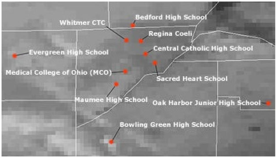
In the first year of the program, Czajkowski, Struble, and Terri Benko, a researcher with the University of Toledo, accompanied a local television meteorologist to schools to discuss the students’ role in collecting data for the project. “Our ultimate goal is to collect surface temperature data and compare those data with measurements from local meteorological stations and satellites, which will help us better understand local temperature patterns. To build the foundation for that future study, we needed to first validate the data retrieved from satellites, so we introduced the students to Earth science data — namely, clouds and snow,” said Benko.
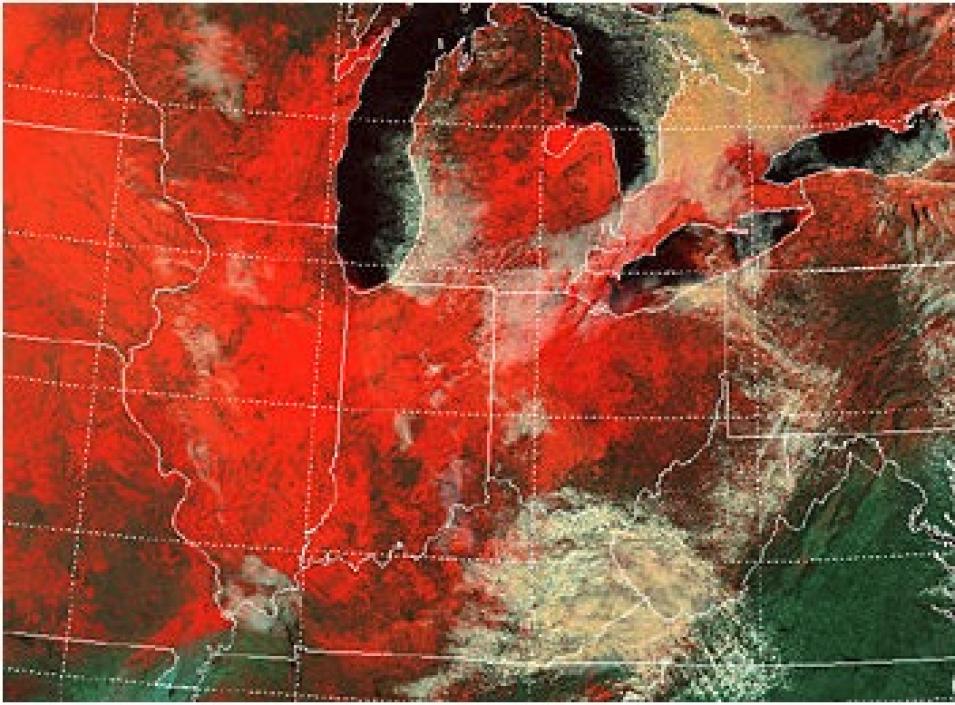
Czajkowski stressed the important role that ground-based cloud and snow data play in making sure the satellite data are valid. “Some satellite sensors can’t detect surface features on the Earth, because of their inability to penetrate cloud cover. Since the Upper Midwest is mostly cloudy in the winter months, we needed snow cover measurements and cloud coverage observations from the students,” he said.
The Electromagnetic Spectrum
The electromagnetic spectrum is a categorization of solar radiation that includes the entire range of radiant energies or wave frequencies. Arranged from the longest to the shortest wavelengths, the spectrum is usually divided into seven sections: radio, microwave, infrared, visible, ultraviolet, X-ray, and gamma-ray radiation.
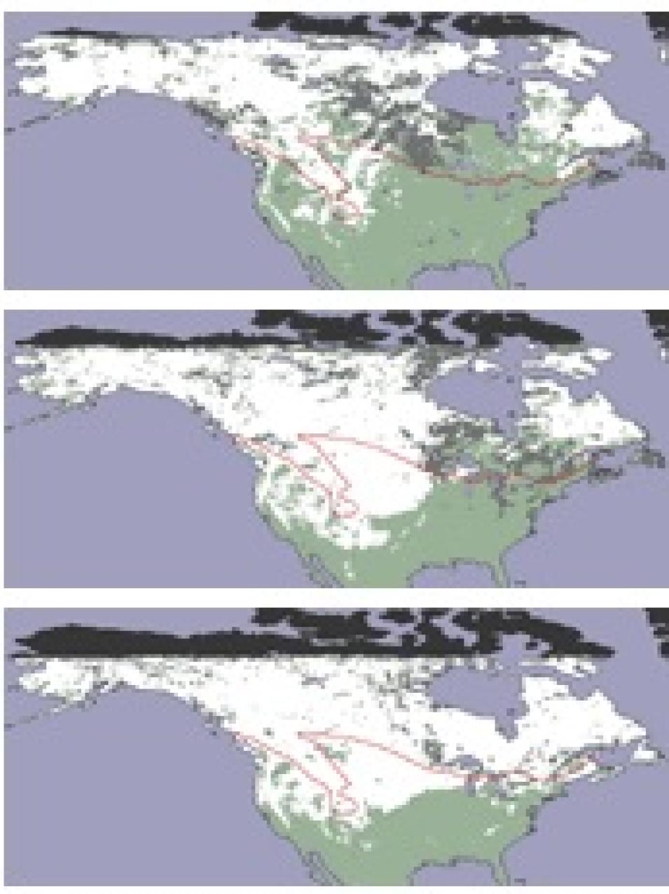
Remote sensing satellites detect the amount of electromagnetic radiation emitted and reflected from objects and features on the Earth's surface. Although microwave radiation is easily transmitted through clouds to space, visible and infrared radiation cannot penetrate clouds. Therefore, satellites that measure wavelengths in the microwave range, such as the Defense Meteorological Satellite Program's Special Sensor Microwave/Imagers (SSM/I), can "see" snow cover at the surface. However, satellites that measure visible radiation, such as MODIS and AVHRR, cannot detect snow cover or other surface features that are beneath cloud cover.
NASA's National Snow and Ice Data Center Distributed Active Archive Center (NSIDC DAAC) archives both MODIS and AVHRR snow and ice data sets.
Although Czajkowski only needed the percentage of cloud coverage, he asked students to record the types of clouds and their relative height (low, medium, or high) to teach them more about weather-related phenomena.
Students were given a “Data Collection Manual” with detailed instructions for recording their observations. The first set of observations took place from December 4 - 12, 2000, and the most recent from January 28 to February 8, 2002. Teachers helped the students identify cloud patterns, 24-hour snow depth, and how much water results from melting snow (snow water equivalent). Czajkowski, Struble, and Benko often accompanied the students outside to show them proper data collection techniques. “When there was no snow on the ground, we demonstrated how to measure snow depth using popcorn instead of snow,” said Benko.
The program became so popular that the number of participating students increased with each new data collection phase. “Originally we had 25 schools involved, but then it became too many schools to visit after the second year,” he said. Now, Czajkowski communicates topics in remote sensing and global climate change to students through a Web-based presentation, and he answers questions via an Internet discussion board.


