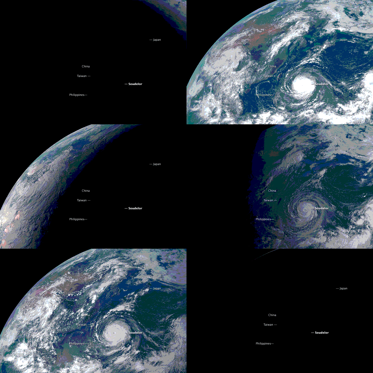
The Advanced Himawari Imager (AHI) is the first ABI-class imager. AHI provides better forecasting, improved numerical weather prediction accuracy, and enhanced environmental monitoring. Environmental intelligence provided by AHI will provide forecasters with better data at faster and higher resolution for advanced warning during dangerous weather. The first AHI became operational on July 7, 2015. The second AHI instrument was launched onboard the Himawari-9 satellite on November 2, 2016.
We are in the process of migrating all NASA Earth science data sites into Earthdata from now until end of 2026. Not all NASA Earth science data and resources will appear here until then. Thank you for your patience as we make this transition.
Read about the Web Unification Project
