Shuttle Radar Topography Mission (SRTM)

satellite
Image
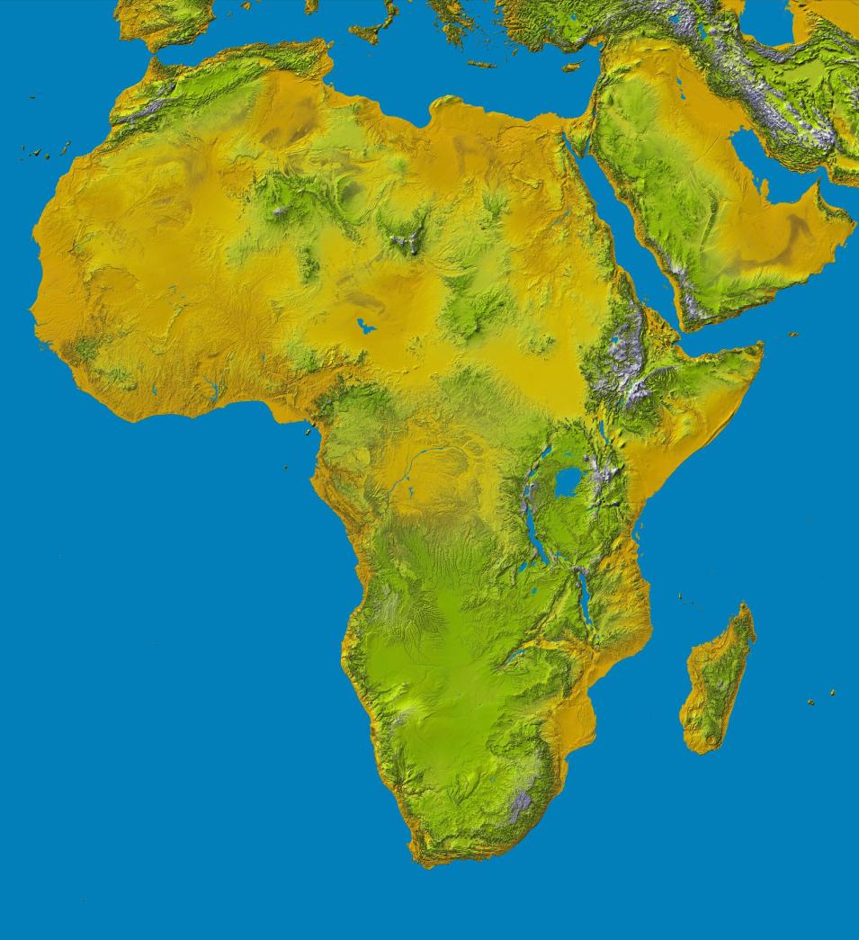
Color shaded-relief image of Africa created from SRTM data. Map color-coding is directly related to topographic height, with brown and yellow indicating lower elevations and green and white indicating higher elevations. Blue areas represent water. Credit: NASA/JPL-Caltech/National Geospatial Intelligence Agency.

The Shuttle Radar Topography Mission (SRTM) payload flew aboard the Space Shuttle Endeavour during the STS-99 mission. SRTM collected topographic data over nearly 80% of Earth's land surfaces, creating the first-ever near-global dataset of land elevations.

The SRTM payload consisted of two radar antennas, one located in the shuttle's payload bay and the other installed on the end of a 200-foot mast that extended from the payload bay. Each SRTM radar assembly contained two types of antenna panels: C-band and X-band. C-band radar data were used to create near-global topographic maps of Earth called Digital Elevation Models (DEMs).

Data from the X-band radar were used to create slightly higher resolution DEMs but without the global coverage of the C-band radar. The two radar datasets were combined to create interferogramatic maps of scanned areas. SRTM measurements took place February 11-22, 2000.
You Might Also Be Interested In

Filter By

Content type
Rowena Lohman, Assistant Professor, Department of Earth and Atmospheric Sciences, College of Engineering, Cornell University
Data User Profile
In 1990, slow-moving pahoehoe lava from Kilauea Volcano gradually spread through the community of Kalapana, burning homes and covering parks, roads, and gardens. (Image courtesy of USGS)
Article
Periodic flooding in the Mississippi Valley can affect residents as far north as Minnesota and as far south as Louisiana. In May 2001, the Mississippi River flooded this house south of Red Wing, Minnesota.
Article