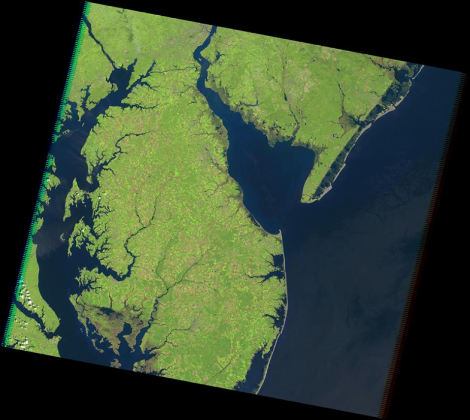
The Landsat Thematic Mapper (TM) was carried aboard the Landsat 4 and Landsat 5 satellites from July 1982 to May 2012 and had a 16-day repeat cycle. The TM is an advanced, multispectral-scanning, Earth-resources sensor designed to achieve higher image resolution, sharper spectral separation, improved geometric fidelity, and greater radiometric accuracy and resolution than the Multispectral Scanner System (MSS) sensor. TM data are sensed in seven spectral bands simultaneously. Band 6 senses thermal (heat) infrared radiation. Landsat can only acquire night scenes in Band 6. A TM scene has an instantaneous field of view (IFOV) of 30 m x 30 m in Bands 1-5 and 7, while band 6 has an IFOV of 120 m x 120 m on the ground.
Content from all Earth science data sites are migrating into this site from now until end of 2026. Not all NASA Earth science data will appear across the site until then. Thank you for your patience as we make this transition.
Read about the Web Unification Project
