The HLS project is a major outcome of the Satellite Needs Working Group assessment in 2016. In that assessment, federal agencies and end users identified a need for more frequent Landsat-like observations to track short-term changes in vegetation and other land components to support agricultural monitoring and land cover classification at moderate to high resolution in both the visible and thermal components of the electromagnetic spectrum. Spectral similarities between the Landsat 8 Operational Land Imager (OLI), the Landsat 9 OLI-2, and the Sentinel-2 Multispectral Imager (MSI) present an opportunity to harmonize data from these sensors to generate higher-frequency imagery products for land surface monitoring and applications.
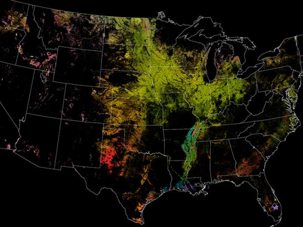
Previous versions of HLS data products produced by the HLS Science Team at Goddard had limited spatial coverage — only covering North America and other select global locations. The current version of the HLS algorithm is a cloud-based software stack that expands the spatial coverage to include all land masses globally, outside of Antarctica.
Two data products are generated as part of the HLS project: the L30 data product generated with Landsat 8 and Landsat 9 data, and the S30 product generated using Sentinel-2 data. These data are available through Earthdata Search as well as through NASA's Land Processes Distributed Active Archive Center (LP DAAC). Feedback or questions about HLS data products can be made in the Earthdata Forum for HLS.
Improving Land Monitoring Capabilities
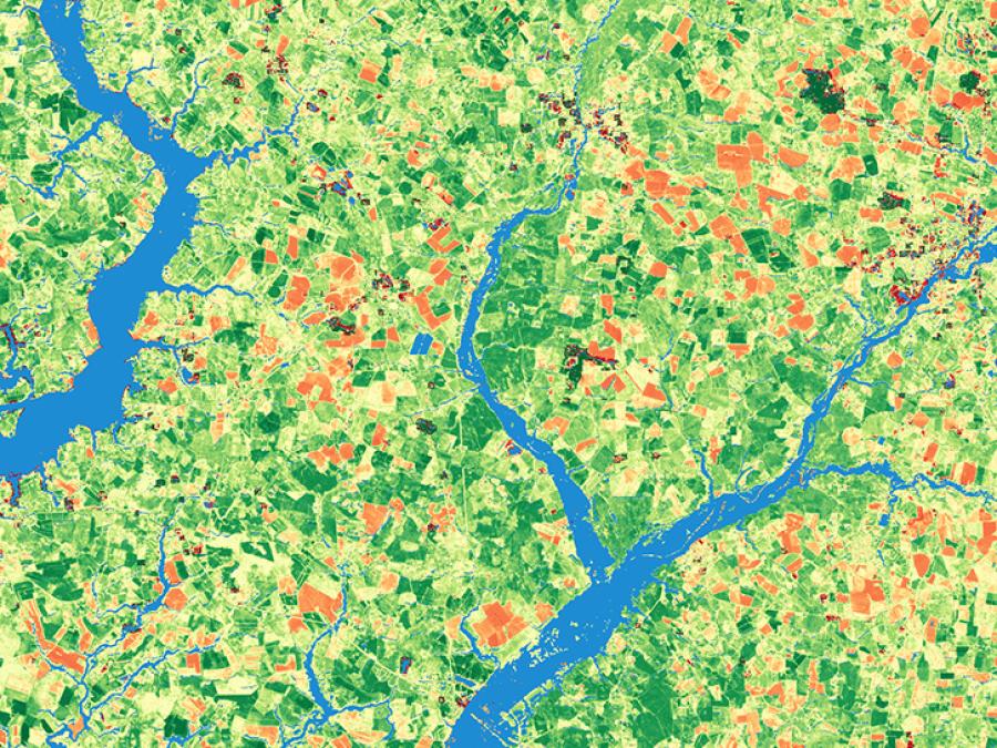
HLS data products greatly improve current publicly available remote sensing land monitoring capabilities, particularly in terms of the frequency of land surface observations through time. The harmonization of HLS ensures that the Landsat 8 and Landsat 9 collection (30-meter spatial resolution with a 16-day repeat period) and the Sentinel-2A/B/C collection (10 to 20-meter spatial resolution with a five-day repeat period) can be used as if they were a single collection. Through HLS, land surface observations can be acquired at an unprecedented 30-meter spatial resolution every 1.6 days.
The frequent revisit times of HLS allow for time series of land surface applications at the field/plot scale, which supports a wide range of applications, including agricultural health, insect infestations, and natural hazard impacts. Data from the Sentinel-2C mission (launched in 2024) is now active and incorporated into HLS data products, further improving re-visit times and land monitoring capabilities.
A suite of HLS vegetation index (VI) products was introduced in February 2025 and low-latency HLS products are anticipated to be completed by the end of 2025.


