Over thousands of years, tectonic activity in Earth’s crust shifts and alters landforms. Geological features that result from tectonic activity can include mountain ranges, volcanoes, plateaus, and rift valleys. While tectonic landforms often take thousands or millions of years to form, studying them tells us important things about how tectonic activity affects us today. 

NASA’s Earth-observing satellites collect data that help measure land height and crustal deformation, as well as the more short-term effects of tectonic activity such as earthquakes, volcanic eruptions, and tsunamis. These datasets enable scientists to study how Earth’s landmasses and geological features formed, and how they will continue to change in the future.

Get Tectonic Landforms Data

Access a range of datasets and data tools to further your tectonic landform research.

Learn How to Use Tectonic Landforms Data
Access a range of webinars, tutorials, data recipes, and data stories to enhance your knowledge of Earth Observation data.
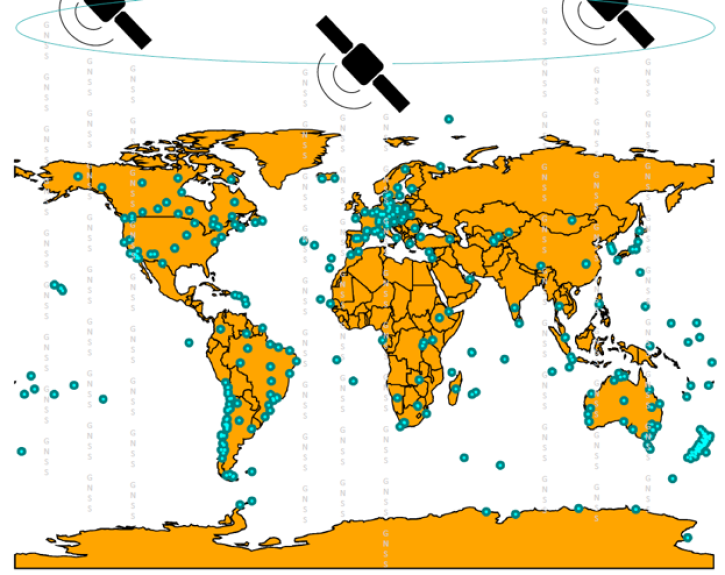
Crustal Dynamics Data Information System webinar banner image showing Global Navigation Satellite System data.avigation
GNSS Products at NASA's CDDIS for Crustal Deformation and Other Applications
Get an overview of the derived data products available at CDDIS for researching crustal deformation, disaster monitoring, and more.
SLR image of tectonic plate movement in South America
SLR Tectonic Maps
View tectonic maps based on SLR data for Europe, the Far East, Asia, the Pacific, North America, and South America.
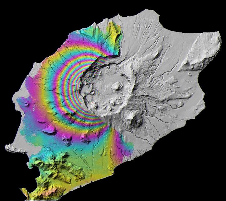
This ASF DAAC  webinar banner image shows An image containing an interferogram over Mt. Okmok, located on Umnak Island, Alaska © ESA 2008; courtesy Z. Lu
Jump-Start SAR Data Analysis in the Cloud with ASF’s OpenSARLab
Learn how to use the Alaska Satellite Facility's OpenSARLab to work with synthetic aperture radar (SAR) data in the cloud.
Chinese Liaoning and Shandong carriers docked at Yulin Naval Base, captured in a high-resolution SAR image by Capella Space. © 2025 Capella Space.
NASA CSDA Program Vendor Focus—Capella Space
Learn more about the NASA Commercial Satellite Data Acquisition (CSDA) program vendor Capella Space and how to discover, access, and work with their SAR data products.
Discover and Visualize Tectonic Landforms Data
NASA data help us understand Earth's changing systems in more detail than ever before, and visualizations bring these data to life, making Earth science concepts accessible, beautiful, and impactful.
Data visualization is a powerful tool for analysis, trend and pattern recognition, and communication. Our resources help you find world-class data visualizations to complement and enhance your research. We also have tools and tutorials to help you translate tectonic landforms data into compelling visuals.
Image
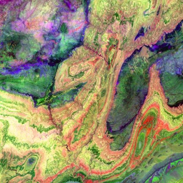
ASTER image of the Anti-Atlas Mountains in Morocco.
The Anti-Atlas Mountains in Morocco contain bands of rock that belonged to an ancient ocean bed before tectonic activity created the mountains. This image was acquired on June 13, 2001 by the Advanced Spaceborne Thermal Emission and Reflection Radiometer (ASTER) aboard NASA's Terra satellite.

Join Our Community of NASA Data Users

While NASA data are openly available without restriction, an Earthdata Login is required to download data and to use some tools with full functionality.

Learn About the Benefits of Earthdata Login

Frequently Asked Questions

Earthdata Forum

Our online forum provides a space for users to browse thousands of FAQs about research needs, data, and data applications. You can also submit new questions for our experts to answer.

Submit Questions to Earthdata Forumand View Expert Responses

Earthdata
Forum