We are in the process of migrating all NASA Earth science data sites into Earthdata from now until end of 2026. Not all NASA Earth science data and resources will appear here until then. Thank you for your patience as we make this transition.
Read about the Web Unification Project
MOPITT SIPS Learning Resources
Webinars, tutorials, data recipes and more to help you work with MOPITT SIPS.
Filters

Join NASA's Prediction Of Worldwide Energy Resources (POWER) Project October 11-12 for the second virtual Global Community (GloCo) Summit. Learn about the Project’s latest enhancements, help drive future improvements, and engage with keynote speakers from the POWER community.
Event
Sept. 27, 2023

This webinar provides a demonstration of using NASA's Catalog of Archived Suborbital Earth Science Investigations (CASEI) for exploring past and present airborne and field campaign platforms, instruments, geophysical concepts, and data products.
Webinar
Aug. 10, 2023
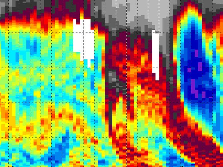
This StoryMap highlights the Tropospheric Ozone Lidar Network (TOLNet) campaign, its goals, and its data products.
StoryMap
April 25, 2023

Key Findings from Ryoo et al.’s "Terrain Trapped Airflows and Precipitation Variability during an Atmospheric River Event"
StoryMap
March 23, 2023

Join us on Wednesday, 23 March 2016, 2 - 3 PM EST to connect the growing renewable energy data user community with information about how NASA ASDC, in partnership with the Surface meteorology and Solar Energy (SSE) Project is providing geospatial tools to access these data!
Webinar
April 19, 2022

Join us to learn how Toolsets for Airborne Data (TAD) facilitates quick and efficient airborne data discovery across data variables. Multiple filtering capabilities such as search based on high-level parameter groups, mission, platform and flight data ranges are available!
Webinar
April 18, 2022

Learn about three instances of OPeNDAP - THREDDS Data Server, AppEEARS, and Additional Tools, hosted by OPeNDAP.
Webinar
April 18, 2022
Enable your Earth Observing data products to work in applications built on GDAL, such as ArcGIS, QGIS, and Geoserver.We will guide you through this process with an overview of GDAL framework documentation, plug-in construction and certification.
Webinar
April 18, 2022
SHOWING 8 OF 47