Due to the lapse in federal government funding, NASA is not updating this website. We sincerely regret this inconvenience.
NSIDC DAAC Learning Resources
Webinars, tutorials, data recipes and more to help you work with NSIDC DAAC.
Filters
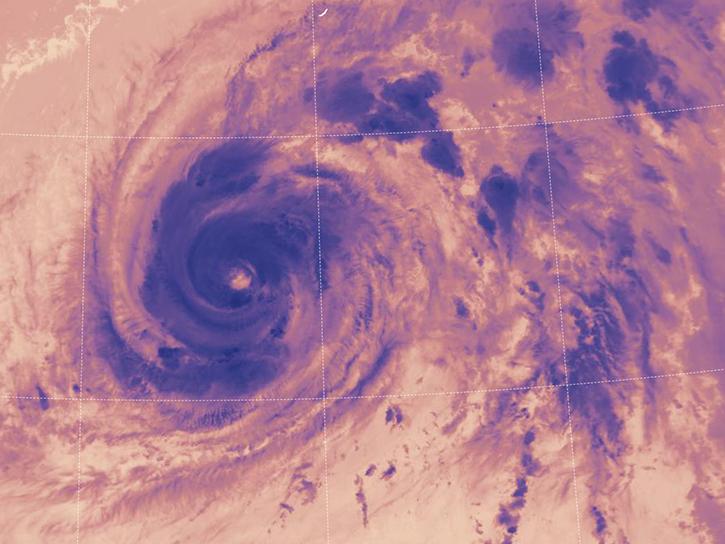
This webinar demonstrates the capabilities and use of SeaDAS (Version 7 and later), NASA's free and publicly available software which enables users from their standard desktop and laptop computers to process,visualize, and analyze remote sensing data.
Webinar
April 15, 2022
LANCE near real-time products enable the management of ongoing events; standard data products are heavily processed and intended for scientific research.
Data Basics
July 15, 2021
Join us to learn how to harmonize IceBridge, ICESat-1, and ICESat-2 data products into similar formats and apply the necessary geophysical corrections for users to immediately access, compare, and visualize data using Python and Jupyter Notebook based tools.
Webinar
May 5, 2021
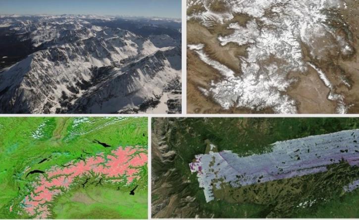
During this webinar we will introduce several of the NSIDC DAAC snow-focused NASA missions and data products, followed by a live demonstration teaching participants how to discover, access, and couple snow data across varying geospatial scales using Python.
Webinar
Nov. 4, 2020
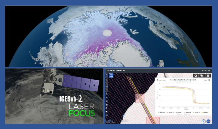
During this webinar we will introduce the ICESat-2 mission and show you how to explore, access and customize ICESat-2 data with the advanced discovery and visualization OpenAltimetry application, directly filter and access ICESat-2 data from an NSIDC DAAC data set page and subset, reformat and analyze ICESat-2 data using Python-based resources.
Webinar
Feb. 18, 2020
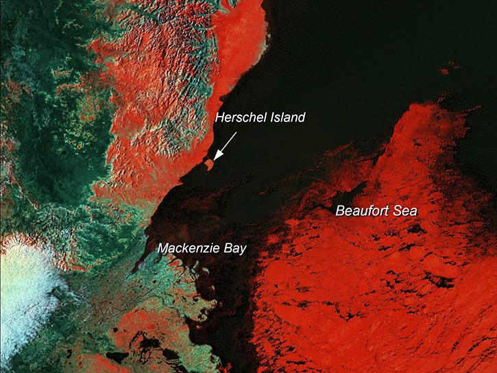
Learn how scientists use remote sensing data to study sea ice patterns to see how changes can influence weather, climate, and animal populations in these regions.
Data in Action
Dec. 6, 2018
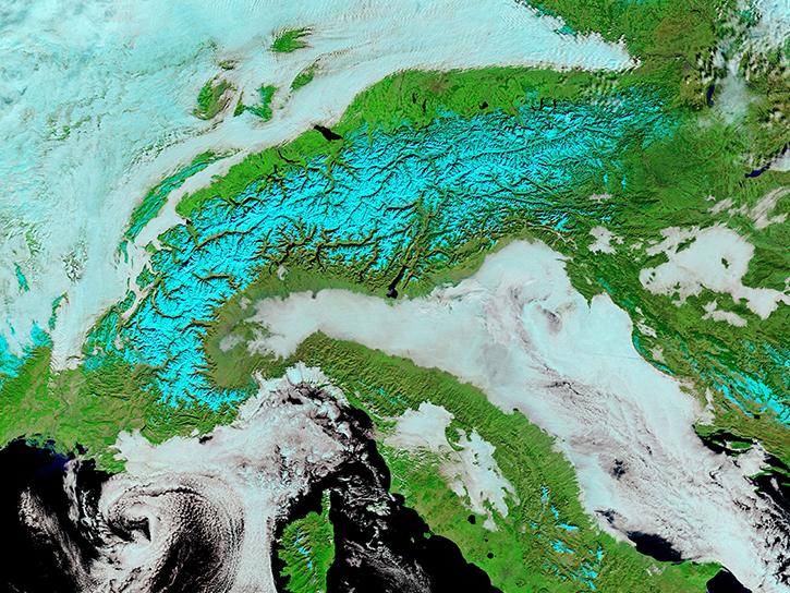
Satellite data from NASA's MODIS instrument illustrates the relationship between snow cover and temperature and the viability of skiing conditions over time.
Data in Action
Feb. 2, 2017
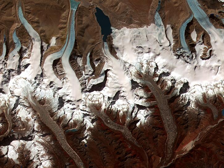
The Global Land Ice Measurements from Space (GLIMS) initiative uses satellite data to track glacier changes, providing vital data for climate and hazard studies.
Data in Action
Dec. 14, 2016
Pagination
SHOWING 8 OF 24

