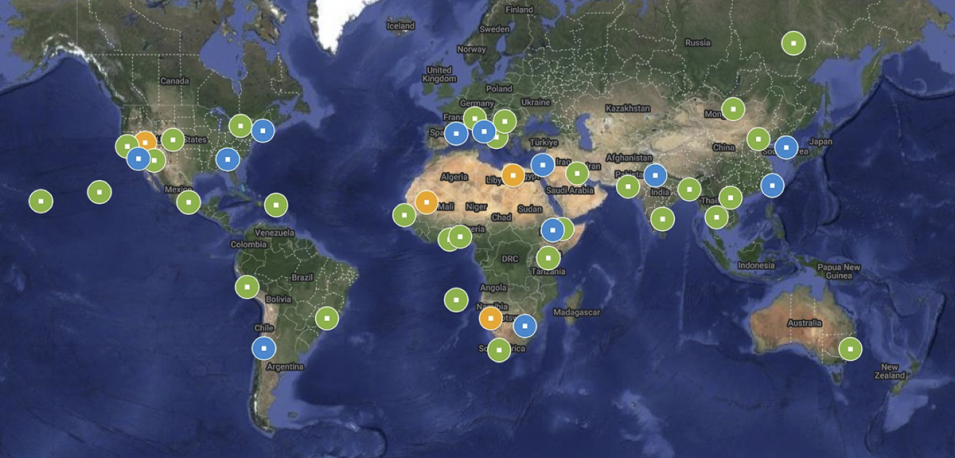
NASA's Atmospheric Science Data Center (ASDC) has released two Multi-Angle Imager for Aerosols (MAIA) Surface Monitor data products. These products include ground-based measurements of total PM2.5, total PM10, and chemically speciated PM2.5 (including sulfate, nitrate, elemental carbon, organic carbon, and dust) at various locations within MAIA’s globally distributed set of Primary Target Areas (PTAs). Applications of these data include air quality, climate, and epidemiological research.
Surface monitors are fixed-location, ground-based stations that provide accurate information about local levels and composition of outdoor particulate matter (PM). Measurements from these stations are used as "ground truth" for transforming MAIA satellite data into near-surface PM mass concentrations.
The Surface Monitor data products are provided in netCDF format and organized into individual files by PM type (total or speciated), with one file per day and per PTA containing measurements from particulate matter monitoring sites within that PTA. Each file includes both raw and quality-controlled data. Data coverage for total PM and speciated PM2.5 measurements begins in November 2022 and January 2021, respectively, though exact start dates may vary by target area and data source. The product files are regularly updated as new measurements become available, and this practice will continue through the end of the MAIA mission.
MAIA is a NASA instrument aboard a spacecraft provided by Agenzia Spaziale Italiana (ASI, the Italian Space Agency). Data from the observatory will be used in health studies to examine the health effects of various types of particulate air pollution.
Access MAIA data and more information:
