Description
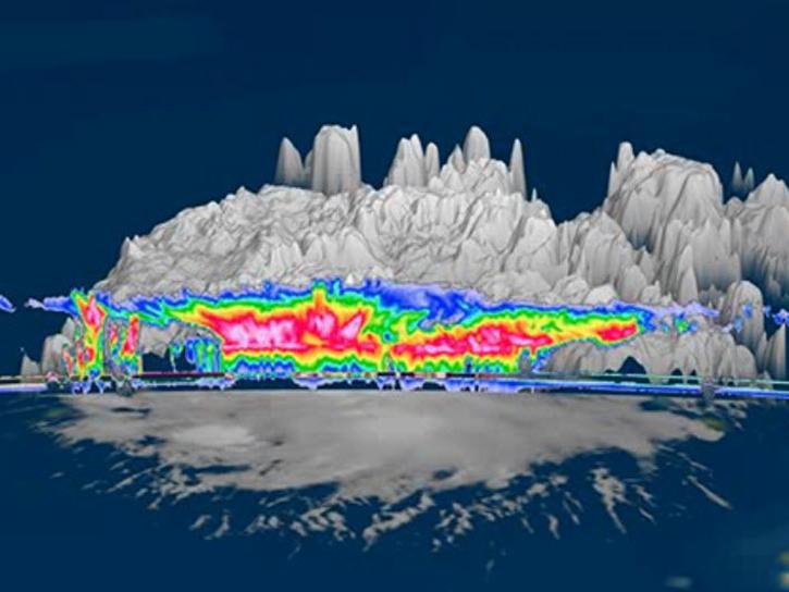
The GOES-R PLT Field Campaign Cloud Radar System (CRS) dataset provides high-resolution profiles of reflectivity and Doppler velocity at aircraft nadir along the flight track. The CRS was flown aboard a NASA ER-2 high-altitude aircraft during the GOES-R Post Launch Test (PLT) field campaign. The GOES-R PLT field campaign took place from March 21 to May 17, 2017 in support of post-launch product validation of the Advanced Baseline Image (ABI) and the Geostationary Lightning Mapper (GLM) aboard the GOES-R, now GOES-16, satellite. The CRS data files are available in netCDF-3 format with browse imagery available in PNG format.
Product Summary
Citation
Citation is critically important for dataset documentation and discovery. This dataset is openly shared, without restriction, in accordance with the EOSDIS Data Use and Citation Guidance.
