We are in the process of migrating all NASA Earth science data sites into Earthdata from now until end of 2026. Not all NASA Earth science data and resources will appear here until then. Thank you for your patience as we make this transition.
Read about the Web Unification Project
Sentinel-2 MSI Resources
Earthdata resources for users working with NASA’s Multispectral Instrument include tutorials and other learning resources, news announcements such as instrument updates and data releases, user guides and related documents, and frequently asked questions.
Sentinel-2 MSI Learning Resources

This ARSET training covers the basics of natural hazard risk modeling and exposure development.
Training
Oct. 3-10, 2023
Esta capacitación de ARSET cubre los fundamentos de la modelación de riesgo de amenazas naturales y desarrollo de exposición.
Training
Oct. 3-10, 2023

Learn how to use NASA's Fire Information for Resource Management System (FIRMS) and its enhanced User Interface that provides additional services and analysis capabilities for wildfire management.
Webinar
Sept. 29, 2023

This ARSET training focuses on using remote sensing observations for assessing water quality parameters in inland lakes.
Training
July 18-25, 2023

This advanced-level training focuses on using remote sensing observations for monitoring post-fire impacts on watershed health.
Training
July 6-13, 2023

The GitHub repository, hosted by NASA's Land Processes Distributed Active Archive Center, provides a range of materials for using LP DAAC data and tools.
Tutorial
April 21, 2023

This ARSET training outlines the basics of ecosystem services and natural capital accounting.
Training
Aug. 23-30, 2022

This ARSET training focuses on using NASA data products for monitoring human settlements and landscapes during armed conflict and forced displacement.
Training
June 14-23, 2022
SHOWING 8 OF 60

An upcoming training offered by NASA's ARSET program introduces a web-based platform for monitoring lake and coastal water conditions using satellite data.
News
Dec. 19, 2025

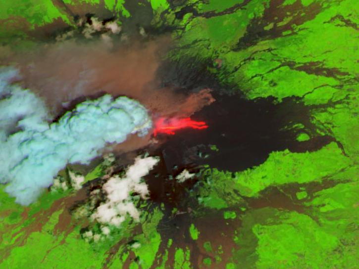
Harmonized Landsat and Sentinel-2 (HLS) image captured on November 9, 2025, by the MSI instrument aboard the Sentinel-2B platform.
Worldview Image of the Week
Nov. 20, 2025
The addition of HLS data to Azure provides a foundation for next-generation Earth observation capabilities.
Blog
Sept. 30, 2025

Image for August 18, 2025, derived from OPERA's Harmonized Landsat Sentinel-2 Land Surface Disturbance data.
Worldview Image of the Week
Aug. 28, 2025
SHOWING 4 OF 64
Frequently Asked Questions
Earthdata Forum
Our online forum provides a space for users to browse thousands of FAQs about research needs, data, and data applications. You can also submit new questions for our experts to answer.
Submit Questions to Earthdata Forumand View Expert Responses