We are in the process of migrating all NASA Earth science data sites into Earthdata from now until end of 2026. Not all NASA Earth science data and resources will appear here until then. Thank you for your patience as we make this transition.
Read about the Web Unification Project
TMI Resources
Earthdata resources for users working with NASA’s Tropical Rainfall Measuring Mission's (TRMM) Microwave Imager (TMI) data include tutorials and other learning resources, news announcements such as instrument updates and data releases, user guides and related documents, and frequently asked questions.
Table of contents
TMI Learning Resources
During this webinar we will provide an overview of TRMM and GPM precipitation data products and discuss the various ways to discover and access these data. We will also demonstrate the visualization and analysis tools and services provided by NASA's Goddard Earth Science Data and Information Services Center (GES DISC).
Webinar
April 18, 2022
This ARSET training focuses on the analysis and interpretation of long-term IMERG data for extreme dry and wet period monitoring and management.
Training
Jan. 28 - Feb. 4, 2020
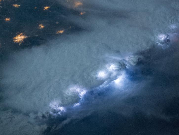
NASA's Lightning Imaging Sensor (LIS) surveyed lightning flashes of all shapes, sizes, and radiances across the tropics.
Data in Action
Oct. 19, 2018
Follow Superstorm Sandy's lifecycle and impacts, and how the recovery of affected ecosystems were tracked by NASA remote sensing data.
Data in Action
July 6, 2017
SHOWING 4 OF 4
Data from NASA’s GHRC DAAC helps scientists like Dr. Anna Wilson develop accurate representations of atmospheric rivers to increase forecast accuracy and improve weather model outputs.
Data User Story
Dec. 21, 2021
Who uses NASA Earth science data? Dr. Charles Ichoku, to study the global and regional impacts of fires in Northern Sub-Saharan Africa.
Data User Story
April 22, 2021
Who uses NASA Earth science data? Dr. John Fasullo, to track changes in Earth’s climate.
Data User Story
April 22, 2021
Who uses NASA Earth science data? Dr. Larry O’Neill, to explore the effects of air-sea interactions on weather, ocean, and climate.
Data User Story
April 22, 2021
Frequently Asked Questions
Earthdata Forum
Our online forum provides a space for users to browse thousands of FAQs about research needs, data, and data applications. You can also submit new questions for our experts to answer.
Submit Questions to Earthdata Forumand View Expert Responses


