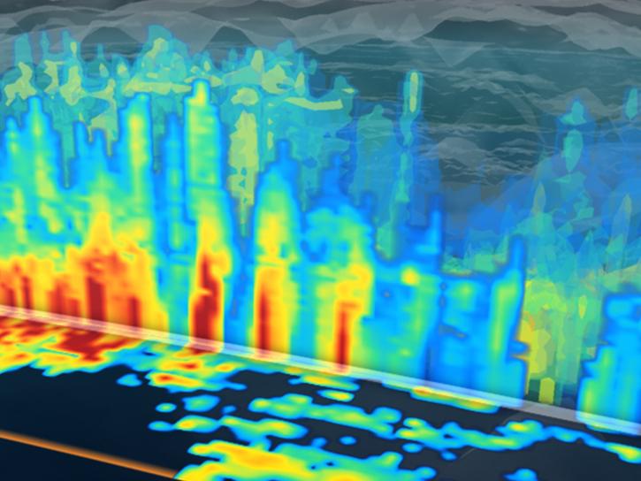
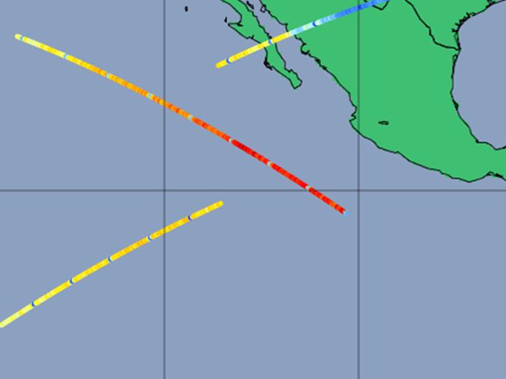
Aboard NASA’s many platforms are sophisticated instruments that collect a wide range of data about our planet. Our instruments can track wildfires in real time, detect minute changes in the Earth’s atmosphere, and help agricultural communities optimize their crop cycles. Explore how our data can enhance your Earth science research.

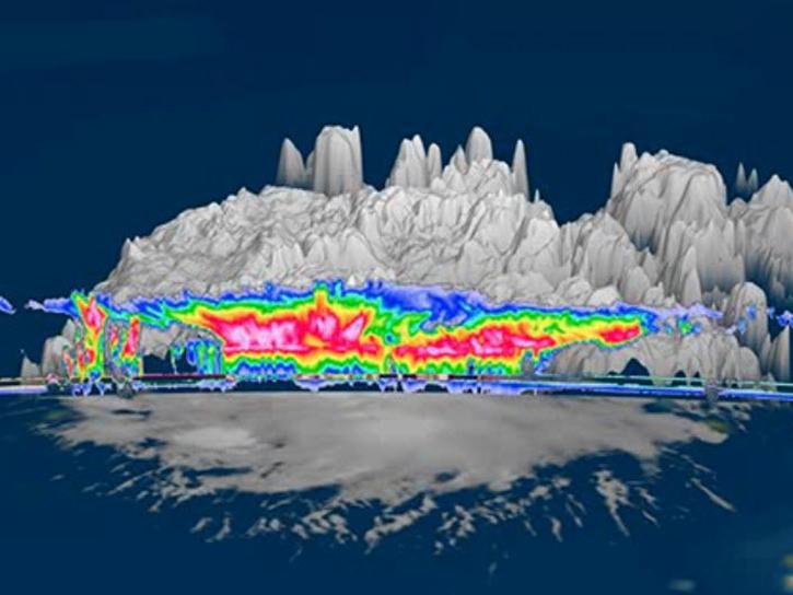
 

Explore Instruments

Filters

CRS

CRS is a 94 GHz, W-band polarimetric Doppler radar designed to operate aboard the NASA ER-2 high-altitude research aircraft or a ground-based radar.
5 datasets

D3R

The Dual-frequency Dual-polarized Doppler Radar (D3R) is a mobile Ku-/Ka-band fully polarimetric Doppler radar, designed to provide pre- and post-launch precipitation observations.
7 datasets
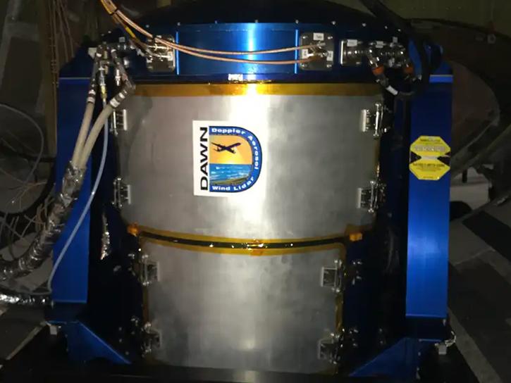
The Doppler Aerosol WiNd Lidar (DAWN) is an active remote, airborne lidar that uses a pulsed, solid-state laser that operates at a wavelength of 2 micrometers to detect aerosol backscatter in the atmosphere.
1 dataset
NASA's Differential Absorption LIDAR (DIAL) system sends pulses of laser radiation at different wavelengths into the atmosphere to measure ozone and also simultaneously measure aerosols and clouds.
4 datasets

DMS

DMS is an airborne digital camera system that captures images of terrain below low and medium altitude aircraft and creates mosaics of those images.
SHOWING 8 OF 157

Join Our Community of NASA Data Users

While NASA data are openly available without restriction, an Earthdata Login is required to download data and to use some tools with full functionality.

Learn About the Benefits of Earthdata Login

Frequently Asked Questions

Earthdata Forum

Our online forum provides a space for users to browse thousands of FAQs about research needs, data, and data applications. You can also submit new questions for our experts to answer.

Submit Questions to Earthdata Forumand View Expert Responses

Earthdata
Forum