
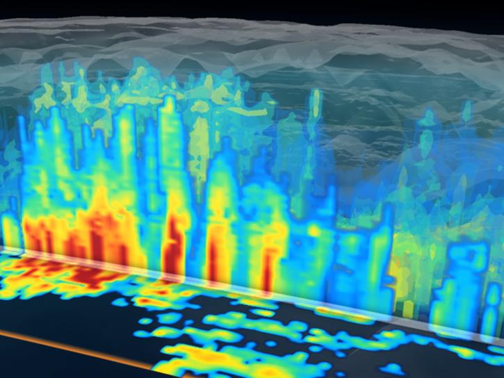
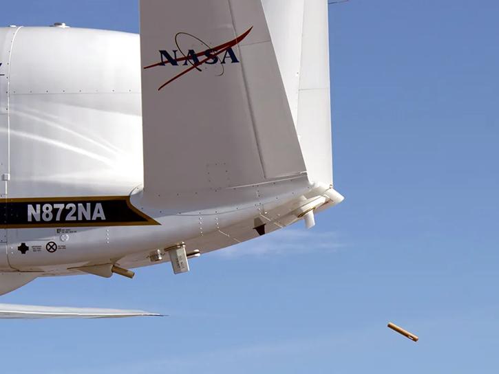
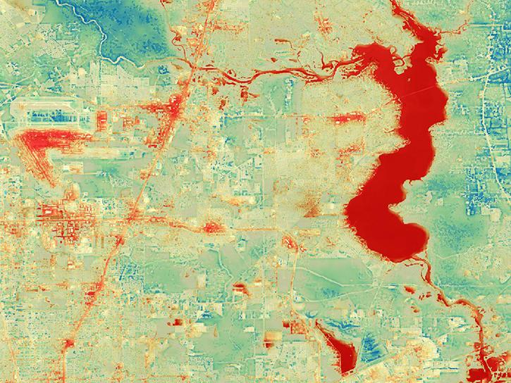
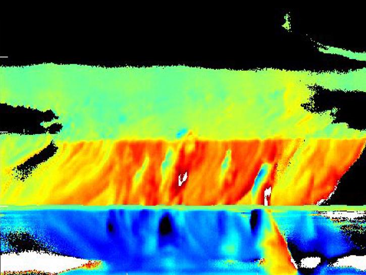
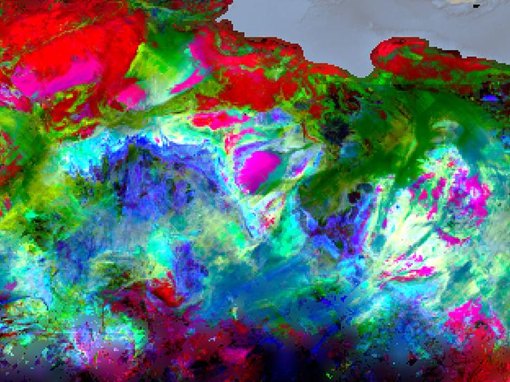
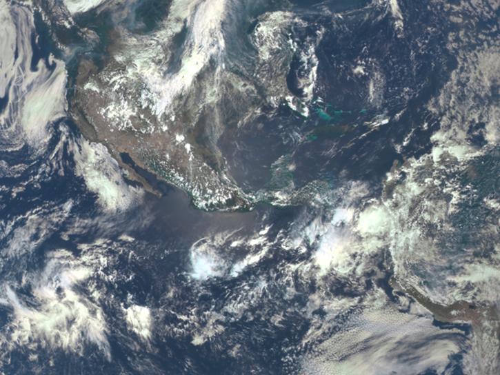
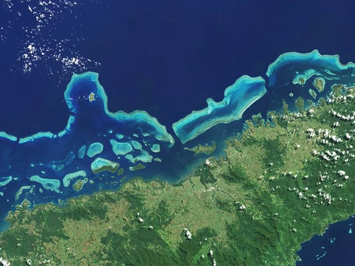
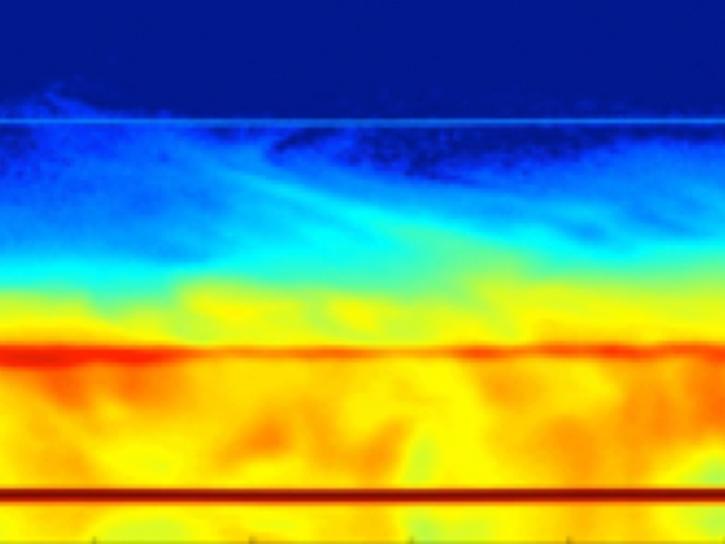
Aboard NASA’s many platforms are sophisticated instruments that collect a wide range of data about our planet. Our instruments can track wildfires in real time, detect minute changes in the Earth’s atmosphere, and help agricultural communities optimize their crop cycles. Explore how our data can enhance your Earth science research.


Explore Instruments

Filters
EDOP is an X-band (9.6 GHz) Doppler radar. EDOP measures high-resolution time-height sections of reflectivity and vertical hydrometeor velocity.
5 datasets
The ETM+ is a fixed “whisk-broom”, 8-band, multispectral scanning radiometer that provides high-resolution imaging information of Earth’s surface.
94 datasets
The Global Ice-Sheet Mapping Orbiter measured the surface topography and thickness of ice sheets, and physical properties of the Greenland Ice Sheet.
GLAS provided elevation data for determining ice sheet mass balance, global topography and vegetation data, and cloud property information.
5 datasets
SHOWING 8 OF 148

Join Our Community of NASA Data Users

While NASA data are openly available without restriction, an Earthdata Login is required to download data and to use some tools with full functionality.

Learn About the Benefits of Earthdata Login

Frequently Asked Questions

Earthdata Forum

Our online forum provides a space for users to browse thousands of FAQs about research needs, data, and data applications. You can also submit new questions for our experts to answer.

Submit Questions to Earthdata Forumand View Expert Responses

Earthdata
Forum