We are in the process of migrating all NASA Earth science data sites into Earthdata from now until end of 2026. Not all NASA Earth science data and resources will appear here until then. Thank you for your patience as we make this transition.
Read about the Web Unification Project
Suomi NPP Resources
Suomi NPP News
View All News
Filters
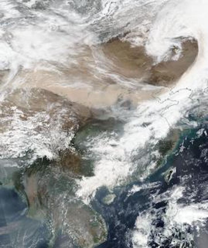
Image captured on 15 March 2021, by the VIIRS instrument, aboard the joint NASA/NOAA Suomi NPP satellite.
Worldview Image of the Week
April 12, 2021

Near real-time data products from the Ozone Mapping and Profiler Suite (OMPS) provide valuable information about atmospheric ozone and sulfur dioxide concentrations.
News
April 5, 2021

Image captured on 7 March 2021, by the VIIRS instrument, aboard the joint NASA/NOAA Suomi NPP satellite.
Worldview Image of the Week
March 15, 2021
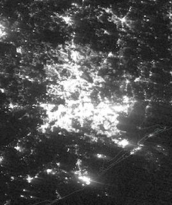
Image captured on February 16, 2021, by the VIIRS instrument, aboard the joint NASA/NOAA Suomi NPP platform.
Worldview Image of the Week
March 8, 2021

Image captured on 18 January 2021, by the VIIRS instrument, aboard the joint NASA/NOAA Suomi NPP satellite.
Worldview Image of the Week
March 8, 2021

NASA near real-time Earth observing data are vital to emergency response. Dave Jones enables these data to be used collaboratively in real time across platforms by emergency responders and managers.
Data User Story
March 1, 2021

New VIIRS imagery from NOAA-20 along with new ways to evaluate and select imagery layers make NASA Worldview more useful than ever.
Feature Article
March 1, 2021
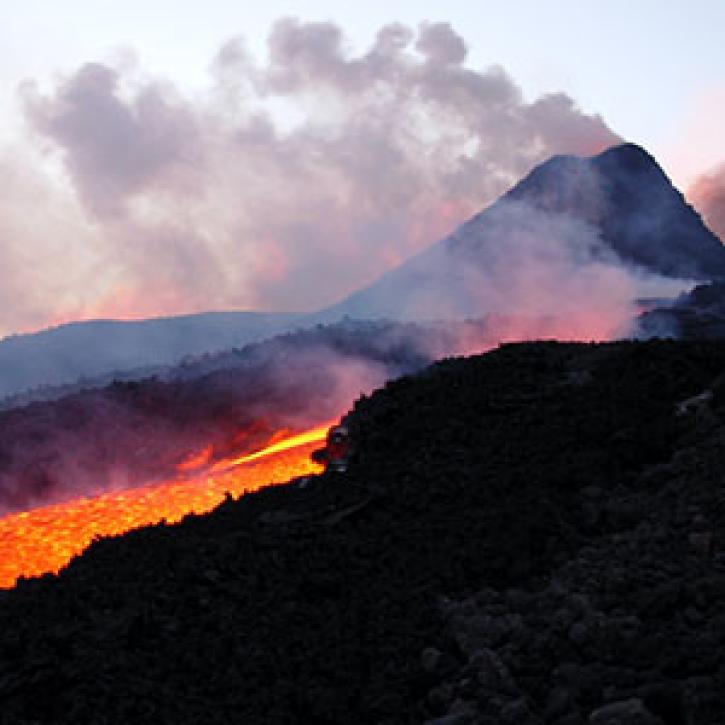
Tracking a volcanic plume reaches new heights, faster.
Feature Article
March 1, 2021
SHOWING 8 OF 332
Frequently Asked Questions
Earthdata Forum
Our online forum provides a space for users to browse thousands of FAQs about research needs, data, and data applications. You can also submit new questions for our experts to answer.
Submit Questions to Earthdata Forumand View Expert Responses