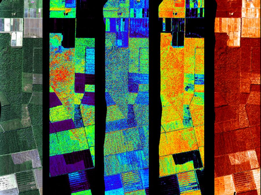

The scanning lidar operates at 1550 nm wavelength and has a swath width of 387 m, while the profiling lidar operates at the 905 nm wavelength. The irradiance spectrometer has a spectral range of 350-1,100 nm and an acquisition rate of 1 Hz, while the imaging spectrometer has a spectral range of 420-950 nm and an acquisition rate of 50 Hz. The thermal camera has a spectral range of 8-14 μm, a swath width of 173 m, and an acquisition rate of 25 Hz. Data products from G-LiHT have a spatial resolution of 1 meter.
We are in the process of migrating all NASA Earth science data sites into Earthdata from now until end of 2026. Not all NASA Earth science data and resources will appear here until then. Thank you for your patience as we make this transition.
Read about the Web Unification Project
