We are in the process of migrating all NASA Earth science data sites into Earthdata from now until end of 2026. Not all NASA Earth science data and resources will appear here until then. Thank you for your patience as we make this transition.
Read about the Web Unification Project
HLS News
Articles, resources, and announcements from HLS.
Filters

Data from NASA’s NSIDC DAAC helps scientists like Dr. Kristin Poinar develop the next generation of models for forecasting sea-level rise from melting glaciers and ice sheets.
Data User Story
May 3, 2022

In collaboration with NASA's IMPACT project, dynamic false color imagery is now available through FIRMS to help better delineate burned areas.
Blog
April 18, 2022

Image captured on Dec. 1, 2021, by the MSI instrument, aboard ESA's Sentinel-2A and -2B satellites.
Worldview Image of the Week
Jan. 29, 2022

Image captured on Dec 24, 2021, by the OLI instrument aboard the Landsat 8 satellite.
Worldview Image of the Week
Jan. 26, 2022

Image captured on Nov 9, 2021, by the MSI instrument aboard ESA's Sentinel 2A and 2B satellites.
Worldview Image of the Week
Dec. 7, 2021
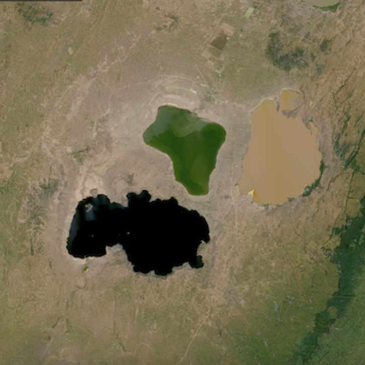
Image captured on Nov. 5, 2021, by the OLI instrument aboard the Landsat 8 satellite.
Worldview Image of the Week
Dec. 7, 2021
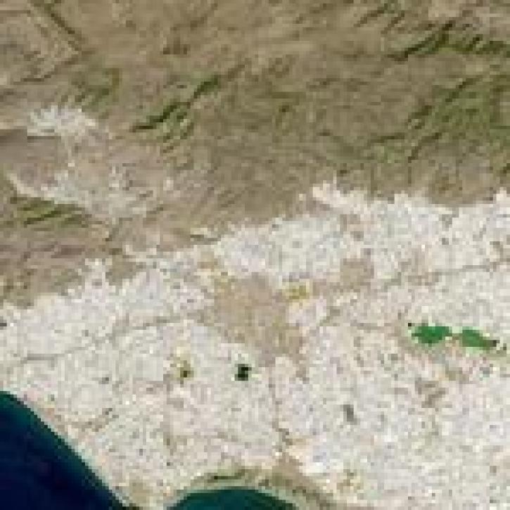
Image captured on 18 September 2021 by the OLI instrument aboard the Landsat 8 satellite.
Worldview Image of the Week
Oct. 25, 2021

The Harmonized Landsat Sentinel-2 (HLS) project offers daily, 30-meter global land surface data products to facilitate a wide range of terrestrial Earth science research.
Data User Story
June 15, 2021
SHOWING 8 OF 77