The MapReady Remote Sensing Tool Kit allows users to process SAR data from various missions, including datasets served by ASF and other providers, and some optical data. MapReady is particularly useful for working with SAR datasets delivered in CEOS format.
Note that MapReady is not suitable for processing Sentinel-1 products. The platform that MapReady supports is limited to older missions in ASF’s catalog, including ALOS Palsar. Use the Sentinel-1 Toolbox packaged in the Sentinel Application Platform (SNAP) for processing Sentinel-1 data.
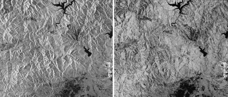
- Terrain-correct, radiometrically correct, geocode
- Apply polarimetric decompositions to multi-pol SAR data
- Export to a variety of common imagery formats, including GeoTIFF, JPEG, PNG
- Perform basic geocoding (with no terrain correction)
- Geocode to a constant elevation
Other software included in the package is an image viewer, metadata viewer, a projection coordinate converter, and a variety of command line tools.
Note: MapReady is not currently supported by updates or technical assistance.
Download MapReady
- MapReady for Linux, latest version (beta)
GitHub download site - MapReady for Windows (beta)
Click to Download