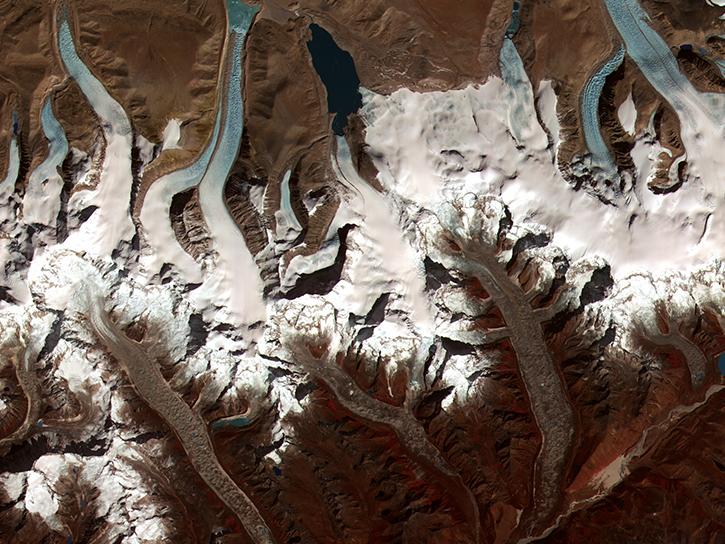
The Global Land Ice Measurements from Space (GLIMS) Glacier Viewer is an interactive map enabling users to view and access data stored in the GLIMS Glacier Database. A number of different layers in this interface can be viewed and spatially queried including GLIMS Glacier Outlines, the Randolph Glacier Inventory (RGI) outlines, other glacier databases (such as the World Glacier Inventory, Regional Coordinator Locations, and others).
The GLIMS Glacier Outlines layer contains the results of glacier mapping within the GLIMS initiative. Each polygon in this layer represents the extent of a particular glacier at a specific time, as well as other possible features of the glacier, such as the extent of debris cover or the location of supra-glacial and pro-glacial lakes. The GLIMS Glacier outlines can be downloaded as Esri Shapefiles, MapInfo tables, Geographic Mark-up Language (GML) files, Keyhole Markup Language (KML, Google Earth), and the Generic Mapping Tools (GMT) multi-segment format.
Users can also use the GLIMS Text Search to refine their results through a number of customizable parameters. Resulting GLIMS Glacier Outlines can be viewed or downloaded individually, or the whole result set can be downloaded.
Another way of accessing data within the GLIMS Glacier Database is through the Open Geospatial Consortium's (OGC) Web Map Service (WMS) and Web Feature Service (WFS) protocols. These services allow access to GLIMS Glacier data directly from desktop GIS software products such as QGIS, ArcGIS, GRASS, or Google Earth, as well as applications such as MapServer.