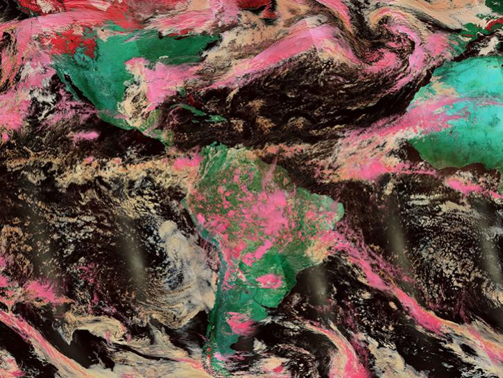
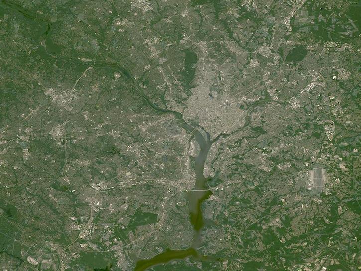
Worldview Snapshots is a lightweight tool for creating image snapshots from a selection of popular NASA satellite imagery layers. Users can preview and download imagery in different band combinations and add overlays on the imagery of active fire detections, coastlines, borders, and roads. Worldview Snapshots is ideal for users with low or limited bandwidth access or for users who want to rapidly retrieve georeferenced satellite imagery of the same area each day.
Worldview Snapshots offers satellite imagery from the Moderate Resolution Imaging Spectroradiometer (MODIS) instrument aboard NASA's Aqua and Terra satellites and the Visible Infrared Imaging Radiometer Suite (VIIRS) instrument aboard the joint NASA/NOAA Suomi National Polar-orbiting Partnership (Suomi NPP), NOAA-20, and NOAA-21 satellites. Imagery is provided by the Global Imagery Browse Services (GIBS). Near real-time imagery through the Land, Atmosphere Near real-time Capability for Earth observation (LANCE) is available approximately three hours after a satellite observation.
Worldview Snapshots is the successor to Rapid Response Subsets. Rapid Response had provided global swath and subset imagery from MODIS since 2001.
Visit Worldview to access the fully featured, interactive interface for browsing full resolution imagery.