We are in the process of migrating all NASA Earth science data sites into Earthdata from now until end of 2026. Not all NASA Earth science data and resources will appear here until then. Thank you for your patience as we make this transition.
Read about the Web Unification Project
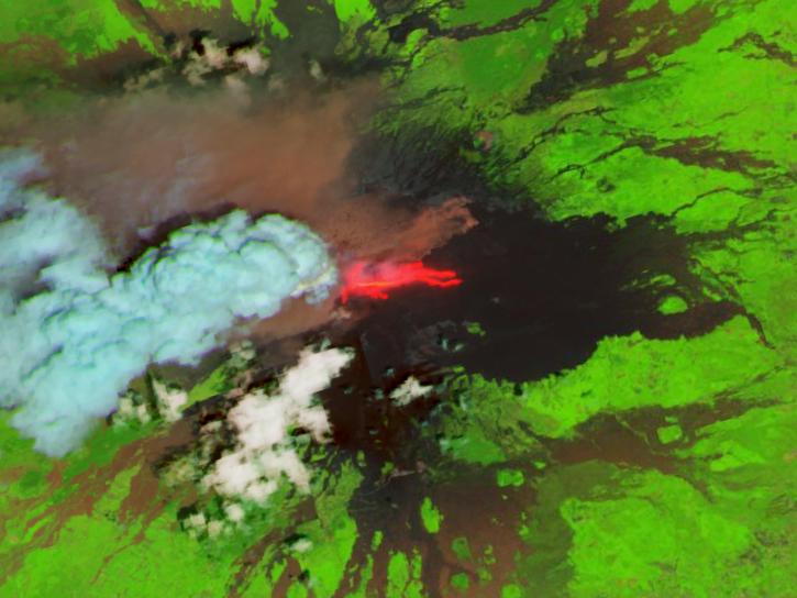
Platforms
Sentinel-2A
,
Sentinel-2B
,
Sentinel-2C
Instruments
Spatial Extent
N: 90 S: -90 E: 180 W: -180
Spatial Resolution
30 Meters x 30 Meters
Spatial Reference System(s)
UTM
Location
GLOBAL LAND
Coordinate System
CARTESIAN
Granule Spatial Representation
GEODETIC
Temporal Extent
2015-11-28 to Present
Temporal Resolution
1 Day
Data Partner
Land Processes Distributed Active Archive Center (LP DAAC)
,
Interagency Implementation and Advanced Concepts Team, NASA (NASA/IMPACT)
Concept ID
C2021957295-LPCLOUD
Data State
ACTIVE
Number of Files/Granules
20574718
Processing Level
3
Published
Updated
Science Keywords