We are in the process of migrating all NASA Earth science data sites into Earthdata from now until end of 2026. Not all NASA Earth science data and resources will appear here until then. Thank you for your patience as we make this transition.
Read about the Web Unification Project
Webinars
Our online webinars, trainings, and workshops feature experts in various disciplines who share their knowledge in a particular subject area, from data in the cloud to specific data tools.
Featured Webinars

Diane Fritz, an associate scientist at NSIDC DAAC, demonstrates how to use the harmony-py Python library to customize data requests from the NASA Earthdata Cloud.
June 2, 2026,3:00-3:30 p.m. EDT(1900-1930 UTC)

User development specialist Timothy Frankstone presents a short walkthrough of content to help you discover data and other content for different Earth science topics.
May 27, 2026,2:00-2:15 p.m. EDT(1800-1815 UTC)

A data training webinar to learn about the ICESat-2 Global Geolocated Photons product and two snow depth estimation methods.
April 29, 2026,2:00-3:00 p.m. EDT(1800-1900 UTC)
Filters
Join us Jan 25 at 2 p.m., ET [UTC -5], to learn how to use the Alaska Satellite Facility's OpenSARLab to work with synthetic aperture radar (SAR) data in the cloud.
Jan. 25, 2023,2:00-3:15 p.m. EST(1900-2015 UTC)
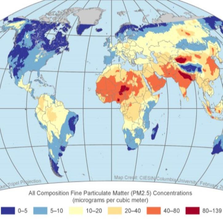
Join us Nov 30 for an introduction and analysis of NASA SEDAC's datasets for air quality and health impacts of exposed populations.
Nov. 30, 2022,2:00 p.m. EST(1900 UTC)

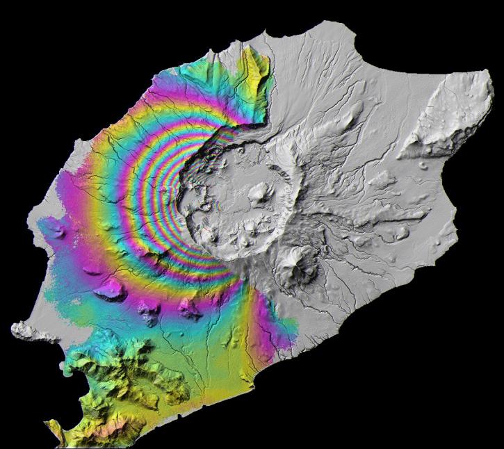
The virtual Terra, Aqua, Aura Drifting Orbits Workshop takes place Nov 1-2, 2022, from 10 a.m. to 6 p.m., EDT [UTC -4], each day. The workshop is free and registration is open to the public.
Nov. 1-2, 2022,11:00 a.m. - 6:00 p.m. EDT(1500-2200 UTC)
Join us on Oct 26, 2022 at 2 p.m., ET, to learn how to discover, access, and use meteorological and hydrological datasets at NASA's GES DISC for studying flood events.
Oct. 26, 2022,2:00-3:15 p.m. EDT(1800-1915 UTC)
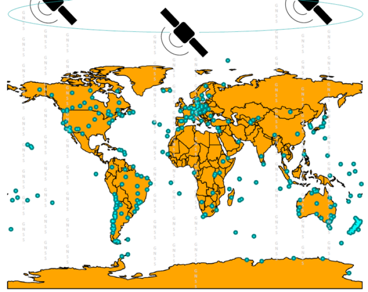
Join us on Sept. 28 to learn about the NASA Making Earth System Data Records (ESDR) for Use in Research Environments (MEaSUREs) Extended Solid Earth Science ESDR System (ESESES) project, whose Global Navigation Satellite System (GNSS)-derived data products enable research on tectonic motion, crustal deformation, earthquakes, tsunamis, sea level rise, extreme weather, and more!
Sept. 28, 2022,2:00-3:15 p.m. EDT(1800-1915 UTC)
This TechTalk features IBM Research's efforts to address the limitations of current foundation model training through its cloud-native software stack.
Aug. 30, 2022,1:00-2:00 p.m. EDT(1700-1800 UTC)

Join us for a tour of enhanced data product landing pages, new user resources, data visualization tools, and a Jupyter Notebook tutorial to access cryospheric data at NSIDC DAAC.
Aug. 24, 2022,2:00-3:15 p.m. EDT(1800-1915 UTC)
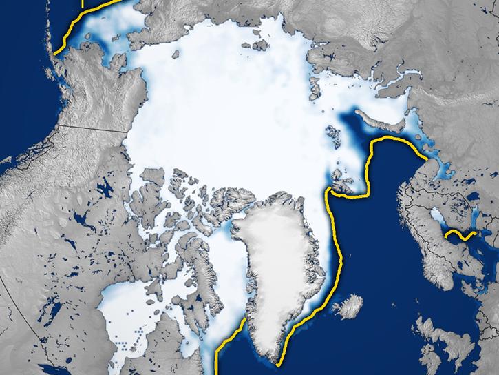
Join us for a tour of enhanced data product landing pages, new user resources, data visualization tools, and a Jupyter Notebook tutorial to access cryospheric data at NASA's National Snow and Ice Data Center DAAC.
Aug. 24, 2022,2:00-3:15 p.m. EDT(1800-1915 UTC)
SHOWING 8 OF 203