Science Objectives
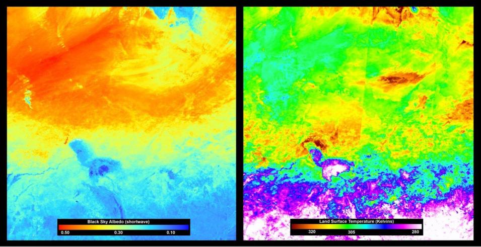
Daily evapotranspiration (ET) can be estimated by using the evaporative fraction (EF), which is the ratio of latent heat to available energy at the Earth’s surface. This study assessed a 2.9 km² area of Niger and Chad in Africa, spanning the Sahara Desert, the Sahel, and the Sudanian savanna, over a 10-year period (2000–2009). The aim of the study was to determine the EF of the study area and evaluate it as an indicator of moisture conditions.
Instruments Used
To calculate the EF, two MODIS products were used: MCD43B3, a 16-day albedo product, produced every 8 days, with 1-kilometer spatial resolution and MOD11A2, an 8-day land surface temperature product with 1-kilometer spatial resolution. Other satellite-derived data included rainfall estimates, vegetation and land cover, and dry matter productivity.
Major Findings
The results of this study showed that EF values could be derived for the study area using low-resolution satellite data, and are an indicator of moisture conditions for status monitoring of savannah ecosystems in the western African Sahel.
References
Publication Reference
Nutini, F., Boschetti, M., Candiani, G., Bocchi, S., and Brivio, P.A., 2014, Evaporative Fraction as an Indicator of Moisture Condition and Water Stress Status in Semi-Arid Rangeland Ecosystems: Remote Sensing, v. 6, no. 7, p. 6300–6323. doi:10.3390/rs6076300
Tracking Greenness Trends in Alaska
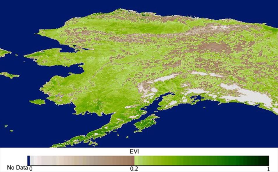
This study analyzed MODIS Enhanced Vegetation Index (EVI) data to evaluate long-term vegetation productivity changes in Alaska’s eastern boreal ecosystems.


