Science Objectives
As the population and urban growth in Southern California increases, so does the risk of wildfires impacting this area. Myoung and others (2018) set out to test the relationship between live fuel moisture (LFM) and Terra and Aqua MODIS vegetation indicies (VI) data products (MOD13Q1 and MYD13Q1) in the chaparral ecosystem of Southern California between October 2002 and September 2012.
Instruments Used
The authors also use the normalized difference water index (NDWI), normalized difference infrared index (NDII), and the visible atmospherically resistance index (VARI) VIs derived from the MODIS 8-day surface reflectance product (MOD09A1). The VIs derived from the surface reflectance product were found to be acceptable indicators for soil moisture and vegetation water content.
Major Findings
In this study, the authors compare seasonal and interannual in-situ LFM data to MODIS VI data. They created an empirical model function of LFM based on optimal VI data combined with temperature data. Finally, they evaluated the feasibility and limitations of the model. The authors found the highest correlation to be between Aqua MODIS enhanced vegetation index (EVI) and LFM when looking at a radius of 10 kilometers (km) (6 miles), as compared to other VIs analyzed in the paper.
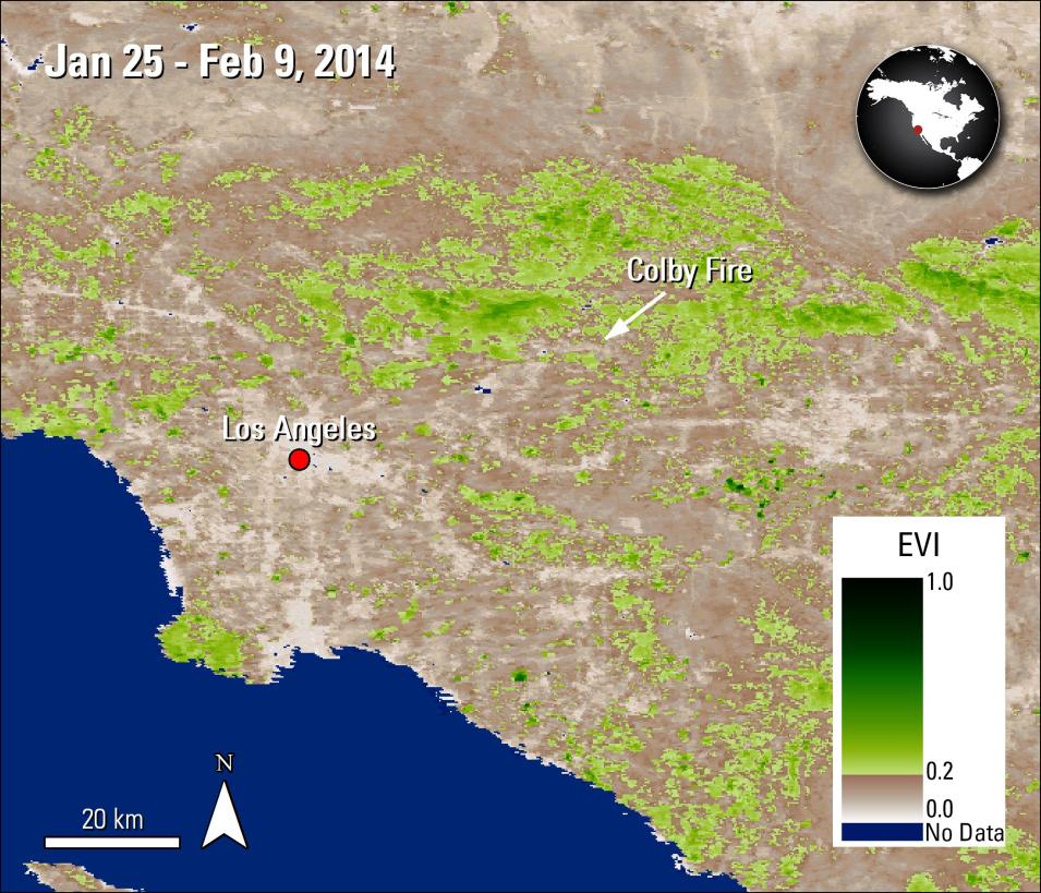
To test the capability of their MODIS VI-derived LFM model, the authors applied their model to the real-life wildfire case of the 2014 Colby Fire in the San Gabriel Mountains. The Colby Fire burned 740 hectares (1,962 acres), including five homes and 17 additional structures. The model showed a decrease of over 80 percent in LFM in the mountanious area from the previously recorded 140 percent approximately a year earlier. The week the fire ignited, the area was found to be below 60 percent LFM, which is considered a critical fire danger level and would have implemented pro-active measures to prepare for a fire.
The authors believe the model created in this study from the MODIS VI data improves over the presently used in-situ method because it increases the spatial and temporal coverage. They state that the model could be improved in the future by including air temperature, rainfall, and soil moisture data, and by adding higher spatial resolution data. The authors report that results from this study could be applied to the Mediterranean region of Europe, and other areas that have similar climatic conditions, and that the framework could be adapted for other climates as well.
References
Publication Reference
Myoung, B., Kim, S.E., Nghiem, S., Jia, S., Whitney, K., and Kafatos, M., 2018, Estimating live fuel moisture from MODIS satellite data for wildfire danger assessment in Southern California USA: Remote Sensing, v. 10, no. 1, art. 87, doi:10.3390/rs10010087
Image References
Granule IDs
- MYD13Q1.A2014025.h07v05.006.2015274223847
- MYD13Q1.A2014025.h08v05.006.2015274223931
DOI
- 10.5067/MODIS/MYD13Q1.006
Locating Rainwater Harvesting Sites
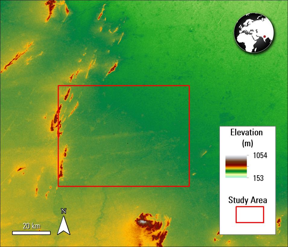
Researchers developed a Geographic Information Systems (GIS)-based method to identify suitable rainwater harvesting locations using Advanced Spaceborne Thermal Emission and Reflection Radiometer (ASTER) elevation data.


