Introduction
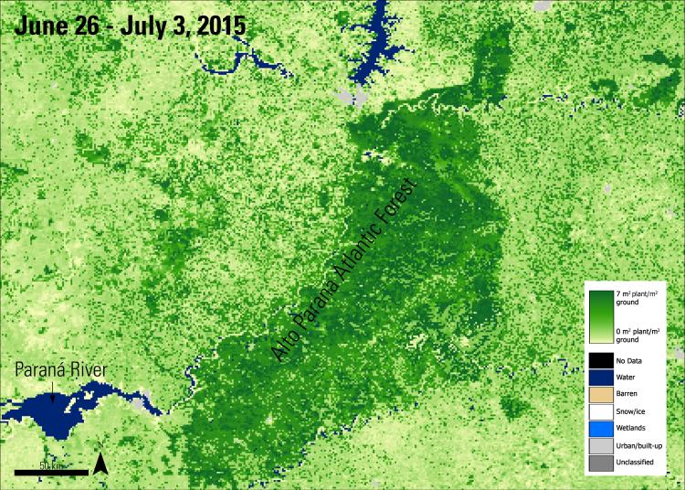
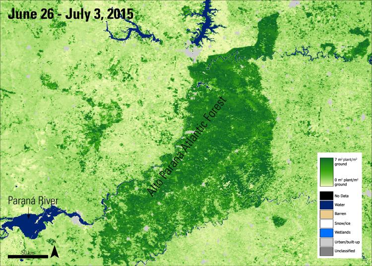
The Leaf Area Index (LAI) is a measurement of foliage in an area. LAI is a measurement with a scale of 0, or bare ground, to over 10, or dense conifer forest. This index is useful for measuring biosphere and atmosphere interactions and cycles and for use in climate models. While LAI can be measured via in situ methods, these practices tend to require a lot of time and resources to survey an area. In some landscapes, on the ground measuring is not a feasible option. In these cases, researchers can use satellite data products to measure LAI. NASA's Land Processes Distributed Active Archive Center (LP DAAC) distributes several LAI data products derived from Moderate Resolution Imaging Spectroradiometer (MODIS) data.

