Science Objectives
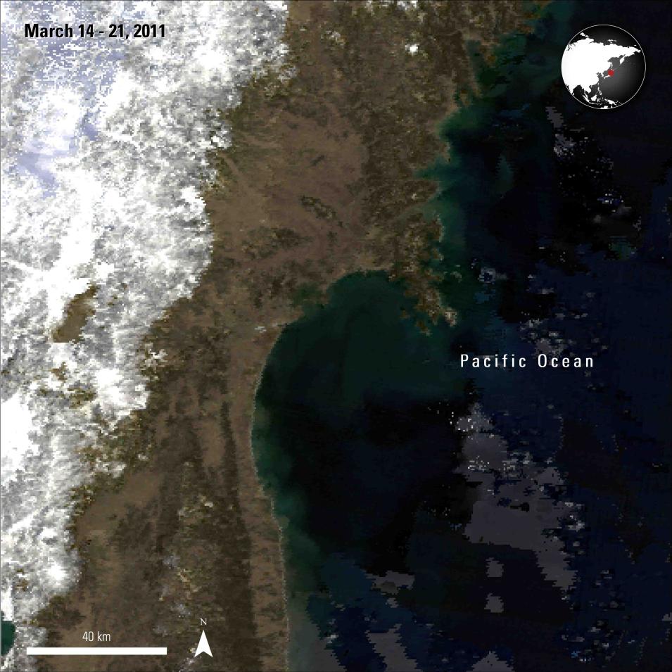
On March 11, 2011, an offshore, magnitude 9 earthquake caused a tsunami that inundated much of Japan’s coastline. To analyze the impact on inland rice crop fields in regions south of Miyagi from before and after the tsunami, the authors of this study created a time-series enhanced vegetation index 2 (EVI2) data using MODIS surface reflectance data (MOD09Q1 and MOD09A1). Additionally, the authors used ASTER Global Digital Elevation Model (GDEM) (ASTGTM), Landsat imagery, land use and tsunami-affected maps, and government statistics to analyze the EVI2 data created.
Instruments Used
- MODIS MOD09Q1, MOD09A1
- ASTER GDEM (ASTGTM)
- Landsat imagery
Major Findings
The study reports that the tsunami affected approximately 17,550 hectares of rice crops. Some of these areas were restored in the year after the tsunami; however, restoration efforts appeared to slow in 2012, most likely due to a government mandate to not replant in the vicinity of the Fukushima Daiichi nuclear power plant. Identifying the amount and extent of damaged and restored rice crop can help land and agricultural planners understand the impacts of the tsunami.
References
Publication Reference
Chen, C., Son, N., Chen, C., Cho, K., Hsiao, Y., Chiang, S., and Chang, L., 2015, Assessing rice crop damage and restoration using remote sensing in tsunami-affected areas, Japan: Journal of Applied Remote Sensing, v. 9, no. 1. doi:10.1117/1.JRS.9.096002.
Analyzing Dunes in Namibia and Kalahari
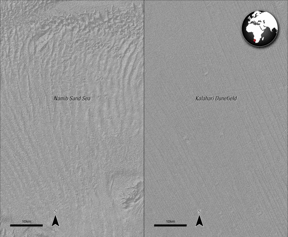
In the study "A morphometric comparison of the Namib and southwest Kalahari dunefields using ASTER GDEM data" published in Aeolian Research, White and others (2015) use ASTER GDEM data to compare sand dune spacing and height in the Namib and Kalahari dunefields.


